
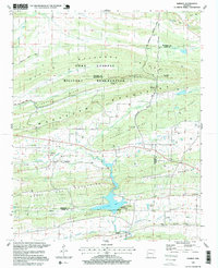
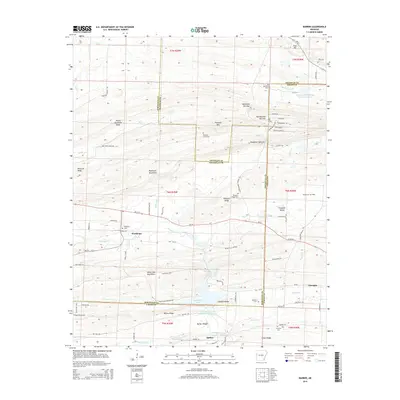
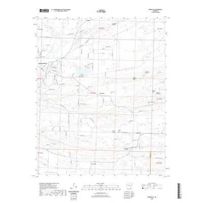
1906 Map of Barber
USGS Topo · Published 1906About this map
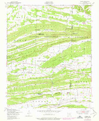
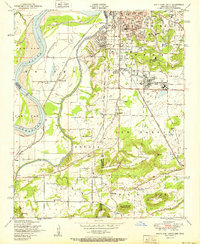
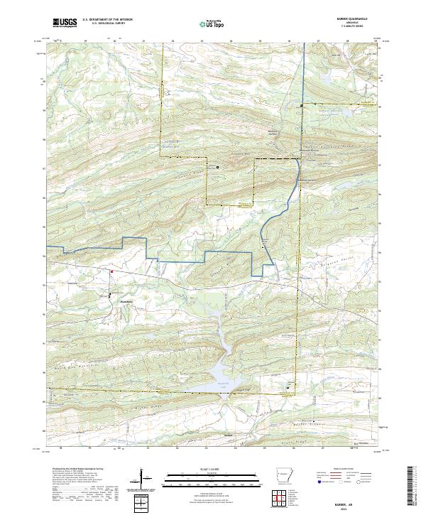
Devils Backbone and White Oak Ridge dominate this turn-of-the-century landscape, where early Arkansas settlements are situated along the complex drainage network of the Petit Jean Creek. The presence of a Toll Bridge over Crow Creek highlights the importance of the valley transit routes between ridges during this period of development. Small rural centers like Burnville, Dayton, and Barber are depicted at a time when local topography dictated the placement of roads and homesteads. The map reveals a transition from the elevated peaks of Jennings Hill to the flatter expanses of Coops Prairie Ridge near Ipavia. From the northern reaches of Oak Grove to the southern waters of Big Petit Jean Creek, this survey provides a look at the early 1900s interior of Sebastian County, before modern infrastructure bypassed these ridgeside communities.
Find a feature on this map
33 named features on this map. Tap any name to fly to it.
Don’t see what you’re looking for? This feature index may not catch every label — zoom into the map to look around manually.
Map Details
Editions of this 1906 Barber Map
This is the sole edition of this map. No revisions or reprints were ever made.
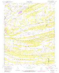
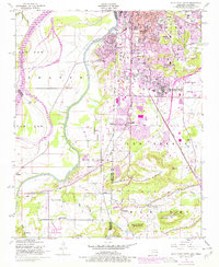
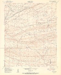
Historical Maps of Greenwood Through Time
27 maps found
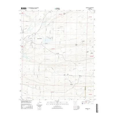
1906 Barber
Sebastian County, AR

1947 Barber
Sebastian County, AR
1947 Barber
Sebastian County, AR
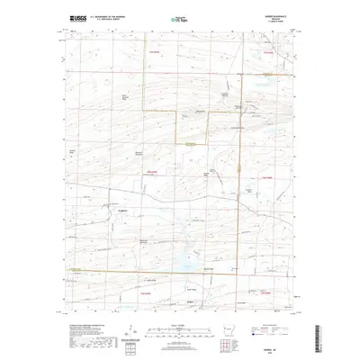
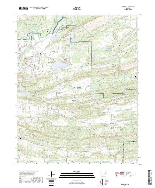
1947 Burnville
Sebastian County, AR
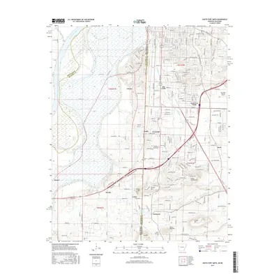
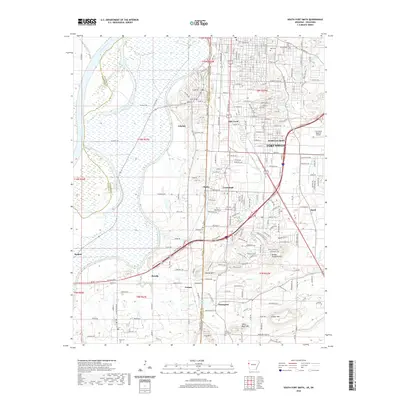
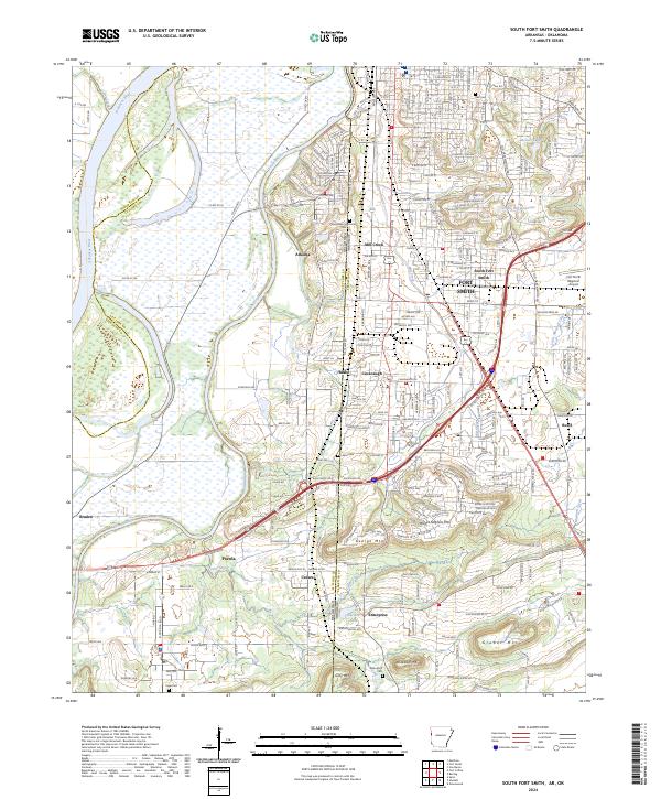
1948 South Fort Smith
Sebastian County, AR

1951 Barber
Sebastian County, AR
1951 Burnville
Sebastian County, AR
1951 South Fort Smith
Sebastian County, AR
1987 Barber
Sebastian County, AR
1987 Burnville
Sebastian County, AR
1987 South Fort Smith
Sebastian County, AR
1997 Barber
Sebastian County, AR
2011 Barber
Sebastian County, AR
2011 Burnville
Sebastian County, AR
2011 South Fort Smith
Sebastian County, AR
2014 Barber
Sebastian County, AR
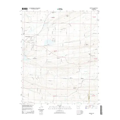
2014 Burnville
Sebastian County, AR
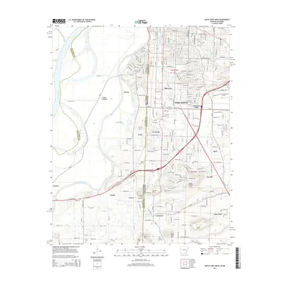
2014 South Fort Smith
Sebastian County, AR
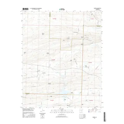
2017 Barber
Sebastian County, AR
2017 Burnville
Sebastian County, AR
2017 South Fort Smith
Sebastian County, AR
2020 Barber
Sebastian County, AR
2020 Burnville
Sebastian County, AR
2020 South Fort Smith
Sebastian County, AR
2024 Barber
Sebastian County, AR
2024 Burnville
Sebastian County, AR
2024 South Fort Smith
Sebastian County, AR