
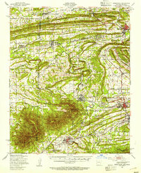
1887 Map of Greenwood
USGS Topo · Published 1887About this map
Greenwood serves as a primary hub in this late nineteenth-century survey, which reveals a landscape defined by sharp topographic ridges and the early footprints of industrial expansion. The S.L. & S.F. R.R. cuts through the territory, linking coal-mining and agricultural settlements like Hackett City, Huntington, and Mansfield. Dramatic geological formations such as Devils Backbone Ridge and the prominent Sugar Loaf Mountain dictate the placement of roads and homesteads, while water sources like the James Fork of the Poteau River provide essential drainage for the surrounding basins. Smaller, localized communities including Jenny Lind, Montreal, and the oddly named Chocoville appear as vital points of interest for genealogists tracing ancestral roots in the Sebastian County area during the post-Civil War era of development.
Find a feature on this map
32 named features on this map. Tap any name to fly to it.
Don’t see what you’re looking for? This feature index may not catch every label — zoom into the map to look around manually.
Map Details
Editions of this 1887 Greenwood Map
This is the sole edition of this map. No revisions or reprints were ever made.
Historical Maps of Greenwood Through Time
9 maps found
1887 Greenwood
Sebastian County, AR
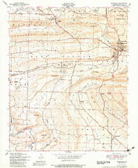
1947 Greenwood
Sebastian County, AR
1951 Greenwood
Sebastian County, AR
1987 Greenwood
Sebastian County, AR
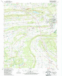
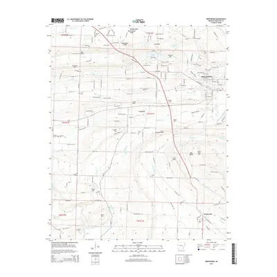
2011 Greenwood
Sebastian County, AR
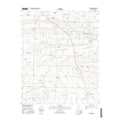
2014 Greenwood
Sebastian County, AR
2017 Greenwood
Sebastian County, AR
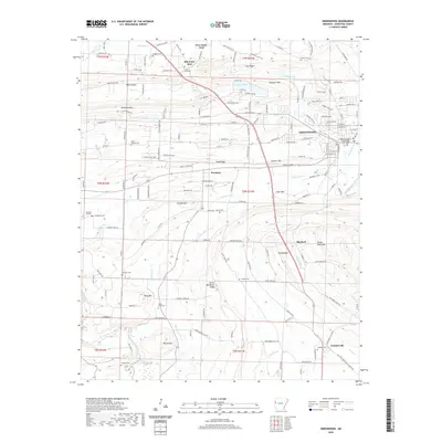
2020 Greenwood
Sebastian County, AR
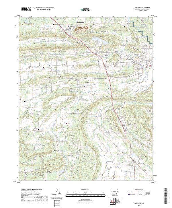
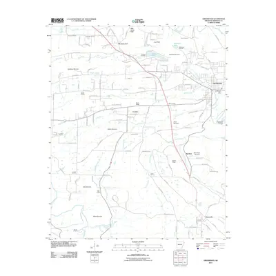
2024 Greenwood
Sebastian County, AR