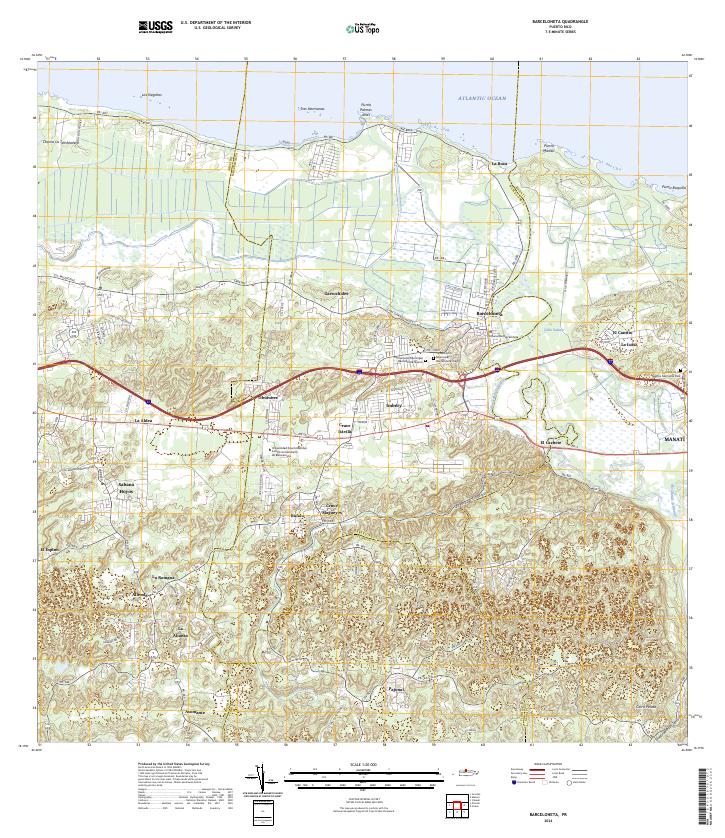
2024 Map of Barceloneta
USGS Topo · Published 2024About this map
Barceloneta and its coastal surroundings are defined by the winding course of the Río Grande de Manatí as it reaches the Atlantic Ocean. This modern survey reveals a landscape where traditional agricultural patterns and settlements like Garrochales and Tiburones meet recent institutional growth, such as the Universidad Ana G Méndez Centro Universitario de Barceloneta. The geography transitions from the northern limestone coast near Punta Manatí to the increasingly dissected hills of the interior near Asomante.
Find a feature on this map
83 named features on this map. Tap any name to fly to it.
Don’t see what you’re looking for? This feature index may not catch every label — zoom into the map to look around manually.
Map Details
Editions of this 2024 Barceloneta Map
This is the sole edition of this map. No revisions or reprints were ever made.
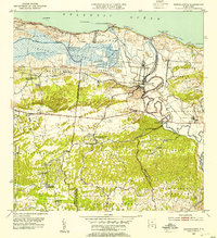
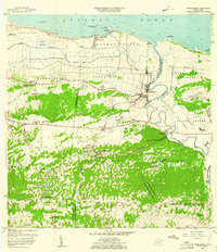
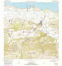
Historical Maps of Córdova Through Time
6 maps found


Featured Locations
- Barceloneta, Barceloneta
- Sector Cerro Morales, Barceloneta
- Allende, Arecibo
- Córdova, Arecibo
- La Romana, Arecibo