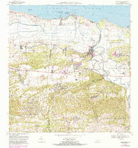
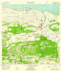
1969 Map of Barceloneta
USGS Topo · Published 1983About this map
Industrial sugar production and rail transport define the coastal plains of Barceloneta during the late 1960s. The presence of the Central Plazuela and Central Monserrate facilities highlights the region's agricultural economy, supported by the Ferrocarril del Oeste and the Pista Nachos. The landscape is divided between the marshy lowlands of the Cano Tiburones and the hilly southern sectors of Florida Adentro.
Find a feature on this map
61 named features on this map. Tap any name to fly to it.
Don’t see what you’re looking for? This feature index may not catch every label — zoom into the map to look around manually.
Map Details
Editions of this 1969 Barceloneta Map
3 editions found
Historical Maps of Barceloneta Through Time
8 maps found

1942 Barceloneta
Barceloneta Municipio, PR

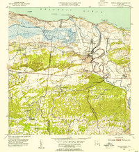
1946 Barceloneta
Barceloneta Municipio, PR
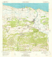
1953 Barceloneta
Barceloneta Municipio, PR
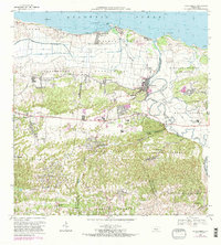
1957 Barceloneta
Barceloneta Municipio, PR
1969 Barceloneta
Barceloneta Municipio, PR
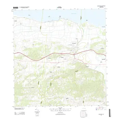
2013 Barceloneta
Barceloneta Municipio, PR
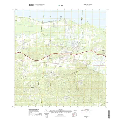
2018 Barceloneta
Barceloneta Municipio, PR
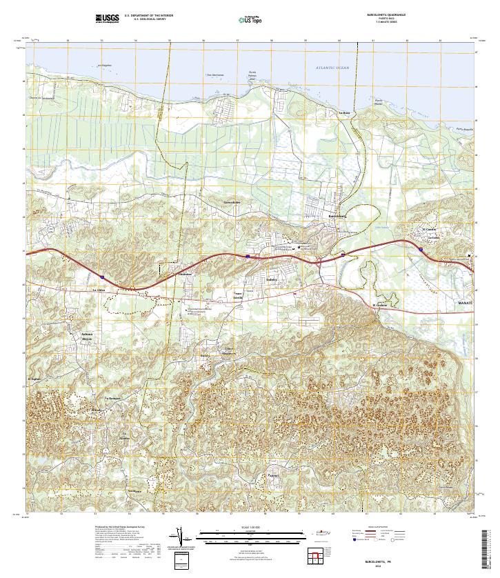
2024 Barceloneta
Barceloneta Municipio, PR
Featured Locations
- Barceloneta, Barceloneta
- San Francisco, Barceloneta
- Allende, Arecibo
- Asomante, Arecibo
- La Romana, Arecibo