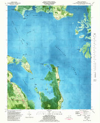
1982 Map of Barco
USGS Topo · Published 1987About this map
Barco and the surrounding Currituck County coastline appear in this orthophotomap as a complex network of marshes, islands, and sounds. The landscape is dominated by the Mackay Island National Wildlife Refuge, which spans the Great Marsh and several interior ponds. Settlement patterns reflect the coastal geography, with small communities like Waterlily on Church Island and Knotts Landing on Knotts Island connected by the Knotts Island Ferry crossing Currituck Sound.
Find a feature on this map
49 named features on this map. Tap any name to fly to it.
Don’t see what you’re looking for? This feature index may not catch every label — zoom into the map to look around manually.
Map Details
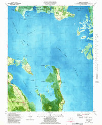
Editions of this 1982 Barco Map
2 editions found
Other maps of this area

1893 · Virginia Beach
USGS Topo · 1:125,000

1916 · Back Bay
USGS Topo · 1:62,500

1939 · Moyock
USGS Topo · 1:62,500

1940 · Barco
USGS Topo · 1:62,500

1943 · Back Bay
USGS Topo · 1:62,500

1946 · Moyock
USGS Topo · 1:62,500

1946 · Eastville
USGS Topo · 1:250,000

1946 · Currituck Sound
USGS Topo · 1:250,000

1948 · Elizabeth City
USGS Topo · 1:62,500

1953 · Norfolk
USGS Topo · 1:250,000