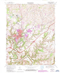
1953 Map of Bardstown
USGS Topo · Published 1954About this map
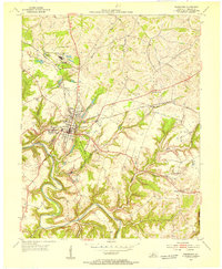
Bardstown serves as the focal point of this 1953 survey, showcasing the town's mid-century layout where the Louisville and Nashville railroad tracks intersect the local road network. Educational and religious institutions are particularly prominent, with the sprawling grounds of Nazareth College and Academy at Nazareth and the central St Josephs Sch anchoring the community. The landscape is defined by the winding course of the Beech Fork river and the sprawling My Old Kentucky Home State Park, which includes a Golf Course and several historic landmarks.
Find a feature on this map
50 named features on this map. Tap any name to fly to it.
Don’t see what you’re looking for? This feature index may not catch every label — zoom into the map to look around manually.
Map Details
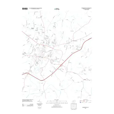
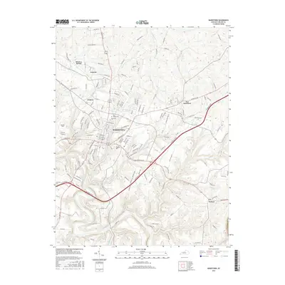
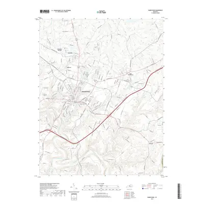
Editions of this 1953 Bardstown Map
This is the sole edition of this map. No revisions or reprints were ever made.
Historical Maps of Bardstown Through Time
7 maps found