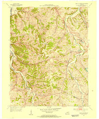
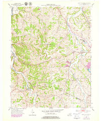
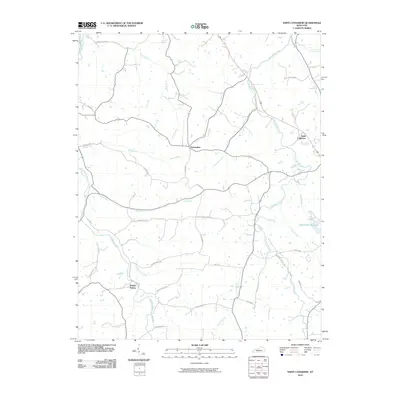
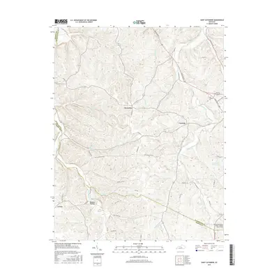
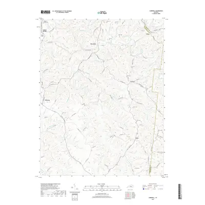
1953 Map of Saint Catharine
USGS Topo · Published 1954About this map
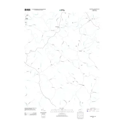
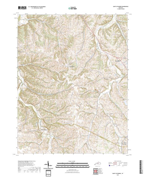
Educational and religious institutions anchor the landscape of central Kentucky in this early 1950s survey. The campus of the Saint Catharine Academy and the adjacent Saint Catharine PO represent a significant local node, while St Rose Priory stands nearby as a landmark of Catholic history in Washington County. This area displays a transition from the rolling drainage basins of Cartwright Creek and Station Run to the upland ridges where smaller communities like Bearwallow and Cisselville are situated.
Find a feature on this map
29 named features on this map. Tap any name to fly to it.
Don’t see what you’re looking for? This feature index may not catch every label — zoom into the map to look around manually.
Map Details
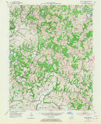
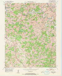
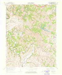
Editions of this 1953 Saint Catharine Map
2 editions found
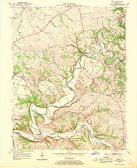
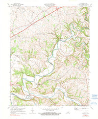
Historical Maps of Loretto Through Time
26 maps found
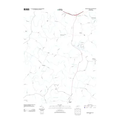
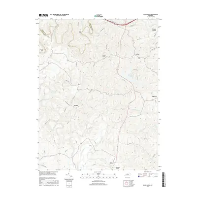
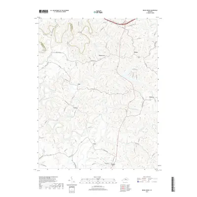
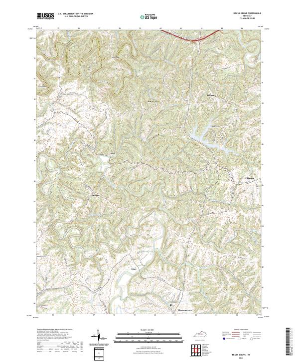
1953 Brush Grove
Washington County, KY
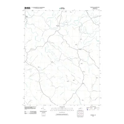
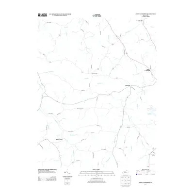
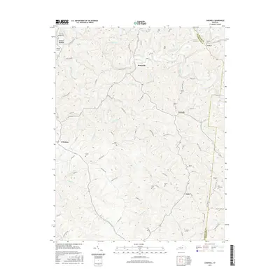
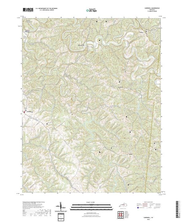
1953 Cardwell
Washington County, KY
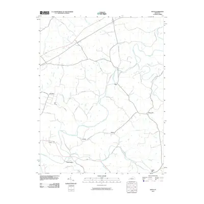
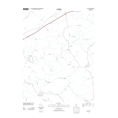
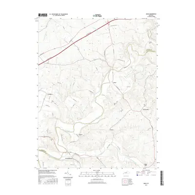
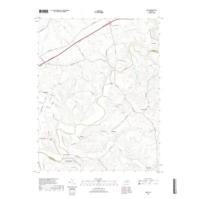
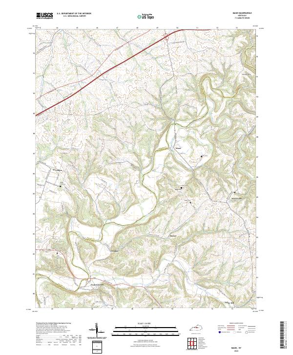
1953 Maud
Washington County, KY
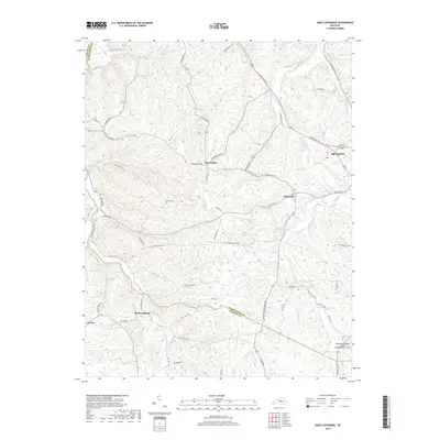
1953 Saint Catharine
Washington County, KY
1972 Brush Grove
Washington County, KY
1972 Maud
Washington County, KY
2010 Brush Grove
Washington County, KY
2010 Cardwell
Washington County, KY
2010 Maud
Washington County, KY
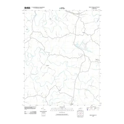
2010 Saint Catharine
Washington County, KY
2013 Brush Grove
Washington County, KY
2013 Cardwell
Washington County, KY
2013 Maud
Washington County, KY
2013 Saint Catharine
Washington County, KY
2016 Brush Grove
Washington County, KY
2016 Cardwell
Washington County, KY
2016 Maud
Washington County, KY
2016 Saint Catharine
Washington County, KY
2019 Brush Grove
Washington County, KY
2019 Cardwell
Washington County, KY
2019 Maud
Washington County, KY
2019 Saint Catharine
Washington County, KY
2022 Brush Grove
Washington County, KY
2022 Cardwell
Washington County, KY
2022 Maud
Washington County, KY
2022 Saint Catharine
Washington County, KY