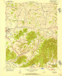
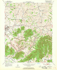
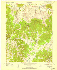
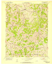
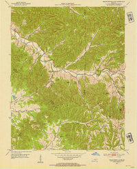
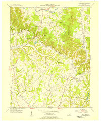
1953 Map of Lebanon East
USGS Topo · Published 1954About this map
The rolling Bluegrass hills of central Kentucky are captured here in the early 1950s, centered just east of the city of Lebanon. This landscape is defined by its deep spiritual and educational roots, featuring numerous country sanctuaries such as St Ives Ch, Bells Chapel, and Bethel Union Ch. The agrarian character of the area is underscored by the Fairgrounds on the outskirts of Lebanon and the Glasscock Sch serving the local families.
Find a feature on this map
35 named features on this map. Tap any name to fly to it.
Don’t see what you’re looking for? This feature index may not catch every label — zoom into the map to look around manually.
Map Details
Editions of this 1953 Lebanon East Map
2 editions found
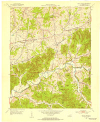
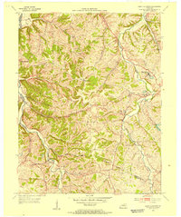
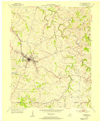
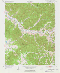
Other maps of this area
1952 · Bradfordsville
USGS Topo · 1:24,000
1953 · Mackville
USGS Topo · 1:24,000
1953 · Bradfordsville NE
USGS Topo · 1:24,000
1953 · Gravel Switch
USGS Topo · 1:24,000
1953 · Saint Catharine
USGS Topo · 1:24,000
1953 · Springfield
USGS Topo · 1:24,000
1953 · Spurlington
USGS Topo · 1:24,000
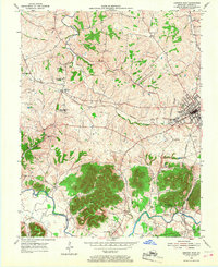
1953 · Lebanon West
USGS Topo · 1:24,000
1953 · Bradfordsville
USGS Topo · 1:24,000

1957 · Winchester
USGS Topo · 1:250,000