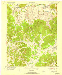
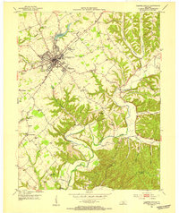
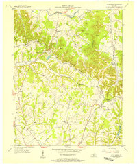
1952 Map of Bradfordsville
USGS Topo · Published 1954About this map
Bradfordsville sits at the confluence of the North Fork Rolling Fork and South Fork Rolling Fork, serving as a central hub for the small agricultural communities of central Kentucky in the early 1950s. The landscape is dominated by the prominent Escarpment of Muldraugh Hill, which separates the valley floor from the dissected ridges to the south. This rugged terrain is marked by family-named landmarks like Jericho Ridge and Rakeshill Ridge.
Find a feature on this map
49 named features on this map. Tap any name to fly to it.
Don’t see what you’re looking for? This feature index may not catch every label — zoom into the map to look around manually.
Map Details
Editions of this 1952 Bradfordsville Map
2 editions found
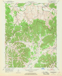
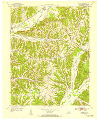
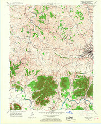
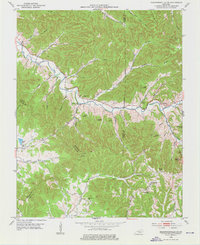
Other maps of this area
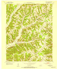
1952 · Clementsville
USGS Topo · 1:24,000
1952 · Mannsville
USGS Topo · 1:24,000
1953 · Campbellsville
USGS Topo · 1:24,000
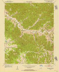
1953 · Bradfordsville NE
USGS Topo · 1:24,000
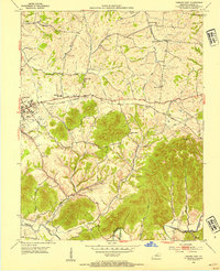
1953 · Gravel Switch
USGS Topo · 1:24,000
1953 · Lebanon East
USGS Topo · 1:24,000
1953 · Spurlington
USGS Topo · 1:24,000
1953 · Lebanon West
USGS Topo · 1:24,000
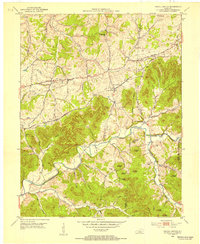
1953 · Bradfordsville
USGS Topo · 1:24,000

1957 · Winchester
USGS Topo · 1:250,000