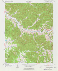
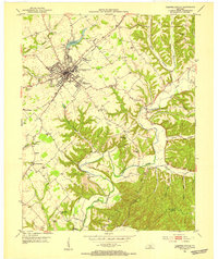
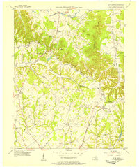
1953 Map of Bradfordsville
USGS Topo · Published 1976About this map
Big South Fork carves a deep path through this Central Kentucky landscape, where the borders of Marion, Casey, and Taylor counties converge. The terrain is defined by a dense network of ridges and knobs, including Dividing Ridge and the prominent Steele Knob. In the early 1950s, the rural economy of this region was centered on small, dispersed communities and one-room schoolhouses. Genealogists will find a wealth of family-named landmarks and local institutions, such as Pine Grove Sch and McFarland Sch. The map records several small cemeteries tucked into the hills, including Shreve Cem near the Robinson settlement and Weatherford Cem further east. Along the river valley, clusters of activity appear at Jacktown and Pleasant Valley Ch, illustrating a settlement pattern dictated by the winding watercourses and the steep elevations of Chestnut Flat.
Find a feature on this map
57 named features on this map. Tap any name to fly to it.
Don’t see what you’re looking for? This feature index may not catch every label — zoom into the map to look around manually.
Map Details
Editions of this 1953 Bradfordsville Map
This is the sole edition of this map. No revisions or reprints were ever made.
Other maps of this area
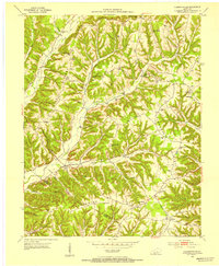
1952 · Clementsville
USGS Topo · 1:24,000
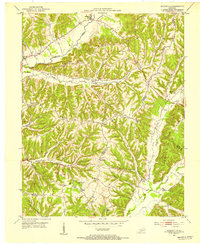
1952 · Mannsville
USGS Topo · 1:24,000
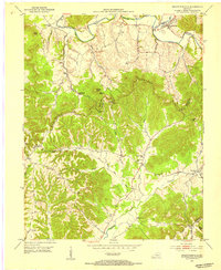
1952 · Bradfordsville
USGS Topo · 1:24,000
1953 · Campbellsville
USGS Topo · 1:24,000
1953 · Bradfordsville NE
USGS Topo · 1:24,000
1953 · Gravel Switch
USGS Topo · 1:24,000
1953 · Lebanon East
USGS Topo · 1:24,000
1953 · Spurlington
USGS Topo · 1:24,000
1953 · Lebanon West
USGS Topo · 1:24,000

1957 · Winchester
USGS Topo · 1:250,000