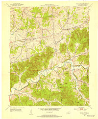
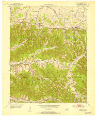
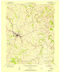
1953 Map of Gravel Switch
USGS Topo · Published 1954About this map
Gravel Switch and the surrounding central Kentucky hill country are captured here at a moment when the Louisville and Nashville railroad and the Jane Todd Crawford Trail defined the regional movement of goods and people. The landscape is a complex network of knobs and hollows, where small settlements like Aliceton and Riley grew along the rail line and creek bottoms. This 1953 field check reveals a community anchored by rural institutions, including Beech Fork Ch, Kedron Ch, and several family burial grounds such as the Tatum Cem and Minor Cem.
Find a feature on this map
50 named features on this map. Tap any name to fly to it.
Don’t see what you’re looking for? This feature index may not catch every label — zoom into the map to look around manually.
Map Details
Editions of this 1953 Gravel Switch Map
This is the sole edition of this map. No revisions or reprints were ever made.
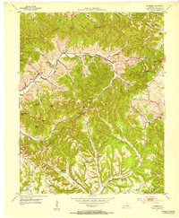
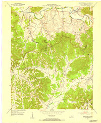
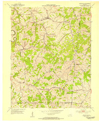
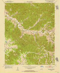
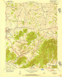
Other maps of this area

1905 · Harrodsburg
USGS Topo · 1:125,000
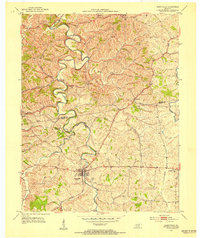
1952 · Perryville
USGS Topo · 1:24,000
1952 · Ellisburg
USGS Topo · 1:24,000
1952 · Bradfordsville
USGS Topo · 1:24,000
1952 · Parksville
USGS Topo · 1:24,000
1953 · Mackville
USGS Topo · 1:24,000
1953 · Bradfordsville NE
USGS Topo · 1:24,000
1953 · Lebanon East
USGS Topo · 1:24,000
1953 · Springfield
USGS Topo · 1:24,000
1953 · Bradfordsville
USGS Topo · 1:24,000