
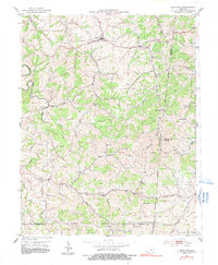
1953 Map of Mackville
USGS Topo · Published 1954About this map
Mackville serves as the primary hub in this portion of central Kentucky, situated near the headwaters of Long Lick Creek. The landscape is defined by the winding drainages of Beech Fork and Tick Creek, where small settlements like Jenkinsville and Pottsville established themselves along the ridges and valley floors. This map documents a series of family-named landmarks and rural institutions that anchored the local community in the early 1950s, including Deep Creek Ch and Wesley Chapel.
Find a feature on this map
29 named features on this map. Tap any name to fly to it.
Don’t see what you’re looking for? This feature index may not catch every label — zoom into the map to look around manually.
Map Details
Editions of this 1953 Mackville Map
2 editions found
Other maps of this area

1905 · Harrodsburg
USGS Topo · 1:125,000

1952 · Perryville
USGS Topo · 1:24,000

1952 · Cornishville
USGS Topo · 1:24,000

1952 · Parksville
USGS Topo · 1:24,000

1953 · Brush Grove
USGS Topo · 1:24,000

1953 · Gravel Switch
USGS Topo · 1:24,000

1953 · Lebanon East
USGS Topo · 1:24,000

1953 · Cardwell
USGS Topo · 1:24,000

1953 · Springfield
USGS Topo · 1:24,000

1957 · Winchester
USGS Topo · 1:250,000