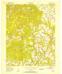
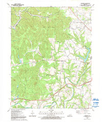
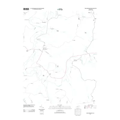
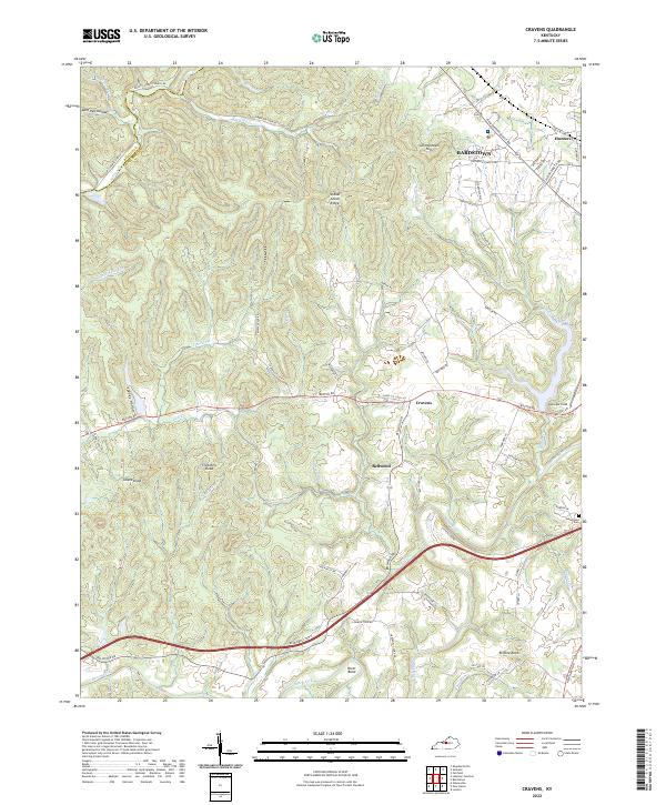
1949 Map of Cravens
USGS Topo · Published 1952About this map
Bernheim Forest dominates the northern landscape of this Nelson County area, where the steep, wooded knobs transition into the fertile lowlands of the Beech Fork river valley. At the end of the 1940s, this region was a network of rural school districts and small rail-side communities. The Louisville and Nashville railroad tracks cut through the eastern terrain, serving the village of Hunters and the small station at Cravens. The map captures the essential social infrastructure of the time, including Cedar Creek Ch and multiple local educational centers like Harrison Fork Sch and Buffalo Sch. The winding course of the Beech Fork and its tributaries, such as Cedar Creek, defined the property boundaries and transport routes for generations of families living near Bellwood and the distinctive Spooky Hollow Club.
Find a feature on this map
21 named features on this map. Tap any name to fly to it.
Don’t see what you’re looking for? This feature index may not catch every label — zoom into the map to look around manually.
Map Details
Editions of this 1949 Cravens Map
This is the sole edition of this map. No revisions or reprints were ever made.
Historical Maps of Bardstown Through Time
15 maps found
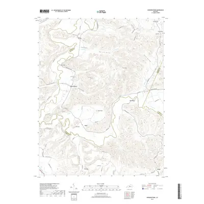
1949 Cravens
Nelson County, KY
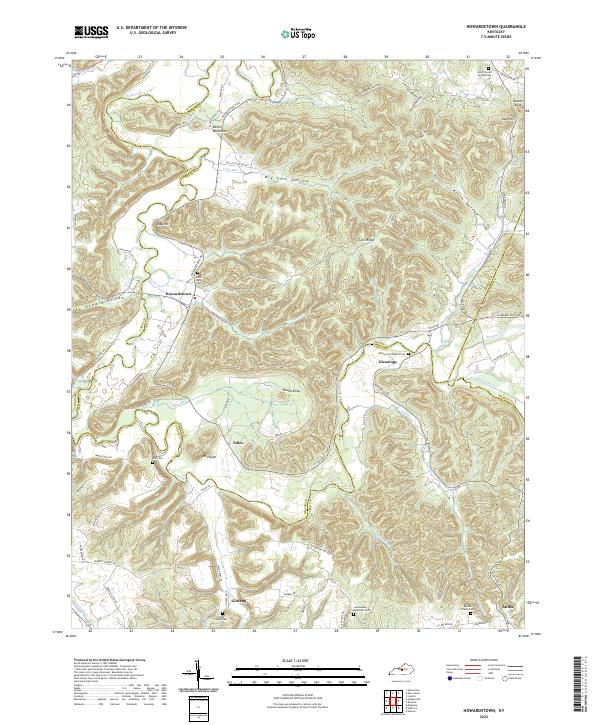
1953 Howardstown
Nelson County, KY
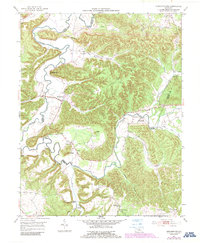
1962 Cravens
Nelson County, KY
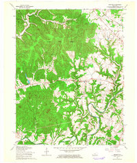
1967 Cravens
Nelson County, KY
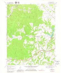
1992 Cravens
Nelson County, KY
2010 Cravens
Nelson County, KY
2010 Howardstown
Nelson County, KY
2013 Cravens
Nelson County, KY
2013 Howardstown
Nelson County, KY
2016 Cravens
Nelson County, KY
2016 Howardstown
Nelson County, KY
2019 Cravens
Nelson County, KY
2019 Howardstown
Nelson County, KY
2022 Cravens
Nelson County, KY
2022 Howardstown
Nelson County, KY