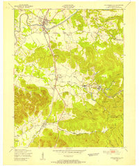
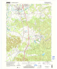
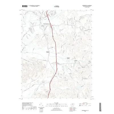
1949 Map of Shepherdsville
USGS Topo · Published 1952About this map
Shepherdsville serves as the focal point of this 1949 survey, situated at the bend of the Salt River. The landscape is defined by the heavy presence of the Louisville and Nashville railroad, which dictates the placement of outlying communities like Bardstown Junction and Belmont. This rail corridor supported a rural economy dotted with numerous small family cemeteries, including Hall Cem, Maraman Cem, and Shelton Cem, alongside specialized educational sites like the Bowmans Valley Sch.
Find a feature on this map
50 named features on this map. Tap any name to fly to it.
Don’t see what you’re looking for? This feature index may not catch every label — zoom into the map to look around manually.
Map Details
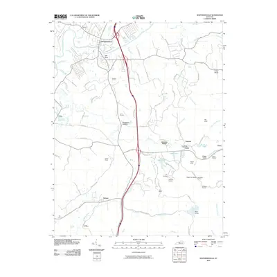
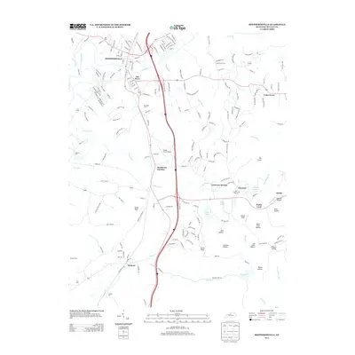
Editions of this 1949 Shepherdsville Map
This is the sole edition of this map. No revisions or reprints were ever made.
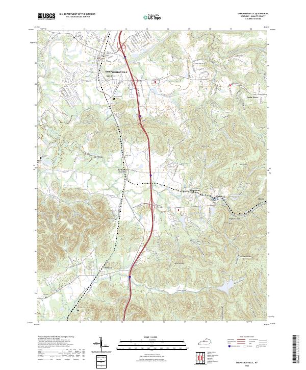
Historical Maps of Shepherdsville Through Time
10 maps found
1949 Shepherdsville
Bullitt County, KY
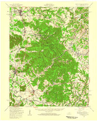
1949 Shepherdsville
Bullitt County, KY
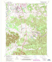
1962 Shepherdsville
Bullitt County, KY
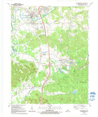
1991 Shepherdsville
Bullitt County, KY
1998 Shepherdsville
Bullitt County, KY
2010 Shepherdsville
Bullitt County, KY
2013 Shepherdsville
Bullitt County, KY
2016 Shepherdsville
Bullitt County, KY
2019 Shepherdsville
Bullitt County, KY
2022 Shepherdsville
Bullitt County, KY