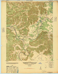
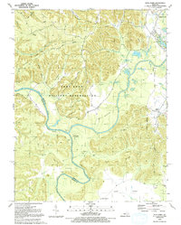
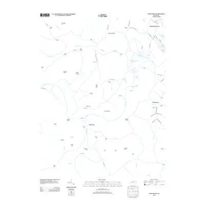
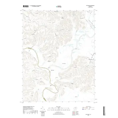
1946 Map of Pitts Point
USGS Topo · Published 1946About this map
The Fort Knox Military Reservation dominates this 1946 landscape, showing a transition from rural Kentucky farmland to a specialized military training ground. The convergence of the Salt River and the Rolling Fork River serves as a natural anchor, where several Firing Lines and ranges sit adjacent to older landmarks like Pitts Point and Little Tokyo Village. Local history is deeply etched into the hills and valleys through dozens of small family and community burial grounds, such as Stovall Cem, Woolridge Cem, and Snellen Cem, many of which were enclosed within the military boundary.
Find a feature on this map
74 named features on this map. Tap any name to fly to it.
Don’t see what you’re looking for? This feature index may not catch every label — zoom into the map to look around manually.
Map Details
Editions of this 1946 Pitts Point Map
This is the sole edition of this map. No revisions or reprints were ever made.
Historical Maps of Shepherdsville Through Time
16 maps found
1946 Pitts Point
Bullitt County, KY
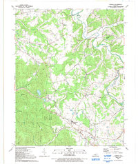
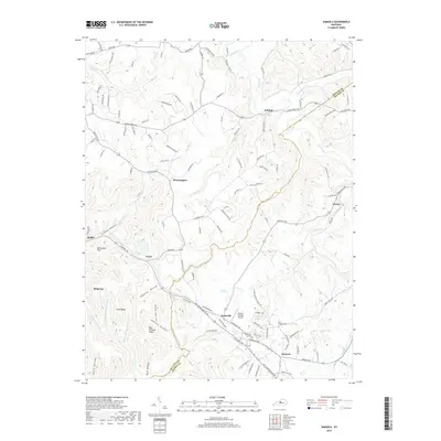
1949 Samuels
Bullitt County, KY
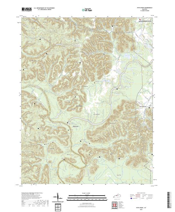
1960 Pitts Point
Bullitt County, KY
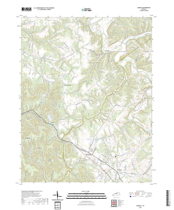
1962 Samuels
Bullitt County, KY
1991 Pitts Point
Bullitt County, KY
1991 Samuels
Bullitt County, KY
2010 Pitts Point
Bullitt County, KY
2010 Samuels
Bullitt County, KY
2013 Pitts Point
Bullitt County, KY
2013 Samuels
Bullitt County, KY
2016 Pitts Point
Bullitt County, KY
2016 Samuels
Bullitt County, KY
2019 Pitts Point
Bullitt County, KY
2019 Samuels
Bullitt County, KY
2022 Pitts Point
Bullitt County, KY
2022 Samuels
Bullitt County, KY