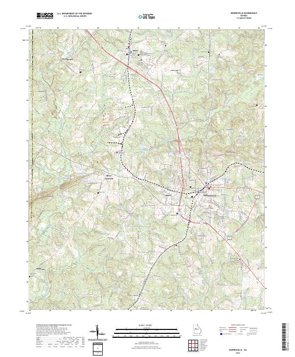
2024 Map of Barnesville
USGS Topo · Published 2024About this map
The Lamar County Courthouse serves as the central landmark for Barnesville, a community defined by its institutional and educational presence. The city is the site of Gordon State College and is surrounded by numerous historic burial grounds, including the Confederate Cem and Zebulon Street Cem. To the north, the town of Milner and the nearby Milner Crossroads reflect a landscape of smaller settlements connected by a dense network of country roads such as Turner Bridge Rd and Etheridge Mill Rd.
Find a feature on this map
172 named features on this map. Tap any name to fly to it.
Don’t see what you’re looking for? This feature index may not catch every label — zoom into the map to look around manually.
Map Details
Editions of this 2024 Barnesville Map
This is the sole edition of this map. No revisions or reprints were ever made.
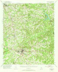
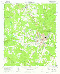
Historical Maps of Milner Crossroads Through Time
3 maps found