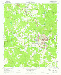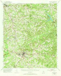
1951 Map of Barnesville
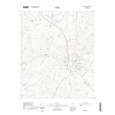
USGS Topo · Published 1973About this map
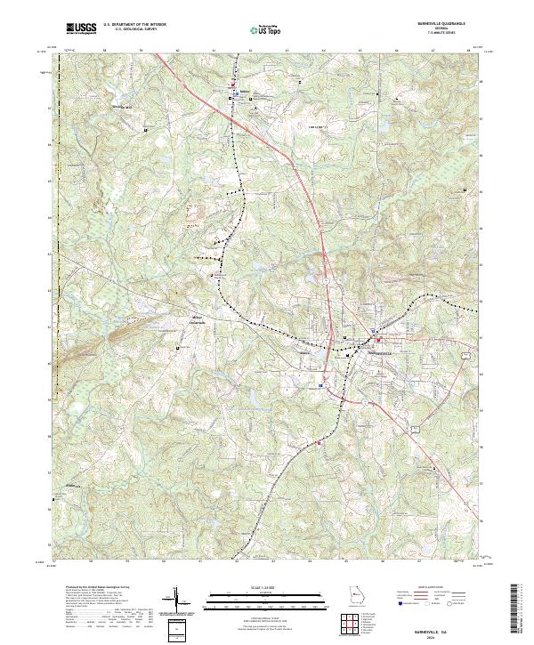
Barnesville serves as the central hub of this 1951 mid-century survey, defined by the convergence of the Central of Georgia and Southern railroads. The town's educational and social character is anchored by Gordon Military College, while the surrounding landscape reveals a dense network of rural communities such as Aldora, Milner, and Johnstonville. To the north, the transition from East Griffin and Orchard Hill into the rural valleys shows a territory heavily influenced by its hydrology, where the Tomaliga River and Big Potato Creek drain the undulating terrain.
Find a feature on this map
93 named features on this map. Tap any name to fly to it.
Don’t see what you’re looking for? This feature index may not catch every label — zoom into the map to look around manually.
Map Details
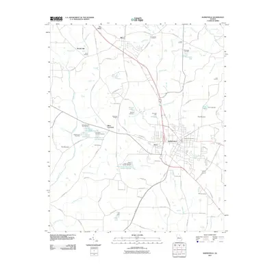
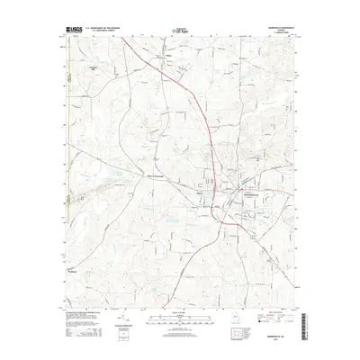
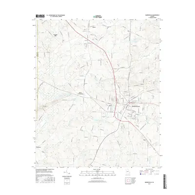
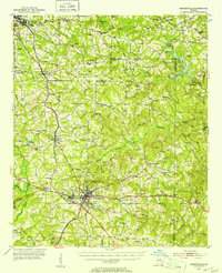
Editions of this 1951 Barnesville Map
2 editions found
Historical Maps of Griffin Through Time
7 maps found