Loading...
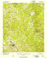
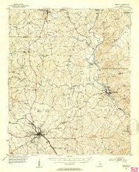
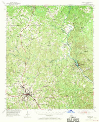
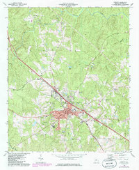
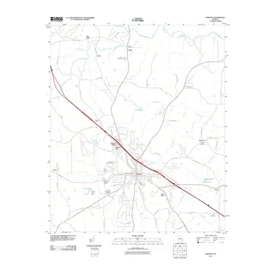
Loading map...1951 Map of Forsyth
USGS Topo · Published 1953About this map
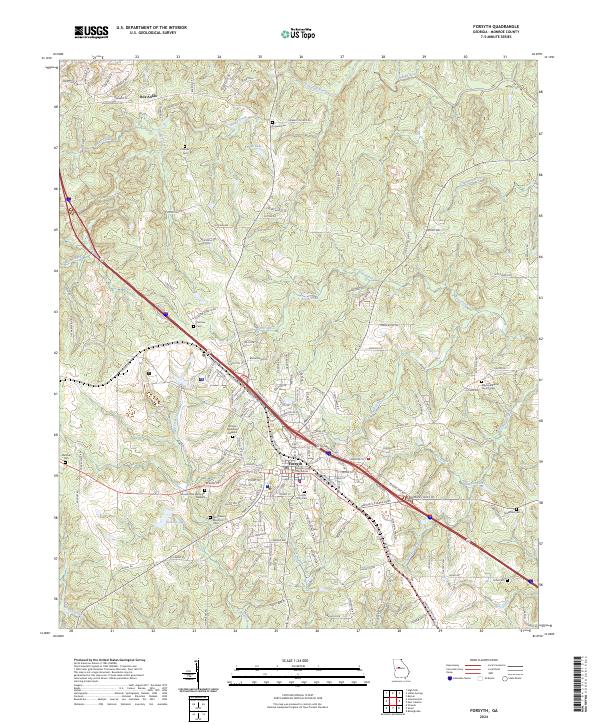
The Forsyth city center serves as a major rail and educational hub in this mid-century survey, anchored by Bessie Tift College and the Hubbard Training Sch. The Central of Georgia and Southern Railway lines converge here, driving local industry at Brighton Mills and Star Mills. To the northeast, the Ocmulgee River winds through the landscape, defining the boundaries of the Piedmont National Wildlife Refuge and supporting the riverside community of Juliette.
Find a feature on this map
112 named features on this map. Tap any name to fly to it.
Don’t see what you’re looking for? This feature index may not catch every label — zoom into the map to look around manually.
Map Details
Date Portrayed1951
Date Published1953
PublisherU.S. Geological Survey
Map TypeTopographic
Scale1:62,500
Physical Dimensions16.8 x 20.6 inches
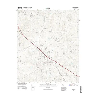
Editions of this 1951 Forsyth Map
3 editions found
Historical Maps of Forsyth Through Time
7 maps found


Featured Locations
Source Details
SourceU.S. Geological Survey
CopyrightPublic Domain