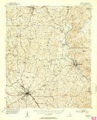
1951 Map of Forsyth
USGS Topo · Published 1953About this map
The county seat of Forsyth anchors this early 1950s landscape, serving as a regional hub where the Central of Georgia railway and the Dixie Highway converge. This era of the city is characterized by institutional landmarks like Bessie Tift College and the Hubbard Training Sch, along with industrial sites such as Brighton Mills. To the north, the recreational grounds of Indian Springs State Park draw visitors, while the eastern portion of the quadrangle is dominated by the Piedmont National Wildlife Refuge along the Ocmulgee River.
Find a feature on this map
111 named features on this map. Tap any name to fly to it.
Don’t see what you’re looking for? This feature index may not catch every label — zoom into the map to look around manually.
Map Details
Editions of this 1951 Forsyth Map
3 editions found
Other maps of this area

1951 · Yatesville
USGS Topo · 1:62,500

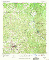
1951 · Forsyth
USGS Topo · 1:62,500

1951 · Barnesville
USGS Topo · 1:62,500

1953 · Atlanta
USGS Topo · 1:250,000

1953 · Athens
USGS Topo · 1:250,000

1955 · Phenix City
USGS Topo · 1:250,000

1956 · Bolingbroke
USGS Topo · 1:62,500

1956 · Macon
USGS Topo · 1:62,500

1957 · Phenix City
USGS Topo · 1:250,000

1957 · Macon
USGS Topo · 1:250,000