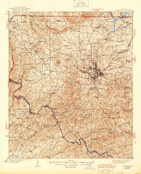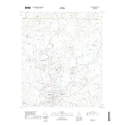
1935 Map of Thomaston
USGS Topo · Published 1935About this map
Thomaston serves as the industrial and social heart of this West Georgia landscape, flanked by the residential and manufacturing hubs of Silvertown and East Thomaston during the mid-1930s. The Central Of Georgia railroad provides the primary connection to the outside world, while the Flint River defines the western and southern boundaries of Upson County. This river corridor is marked by a legacy of shifting transportation, evidenced by several crossings including the Du Bignon Ferry (Abandoned), Adams Ferry (Abandoned), and Jacks Ferry (Abandoned), alongside Parkers Bridge.
Find a feature on this map
105 named features on this map. Tap any name to fly to it.
Don’t see what you’re looking for? This feature index may not catch every label — zoom into the map to look around manually.
Map Details
Editions of this 1935 Thomaston Map
This is the sole edition of this map. No revisions or reprints were ever made.
Historical Maps of Thomaston Through Time
9 maps found