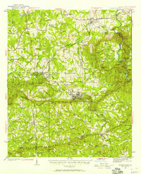
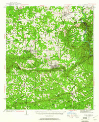
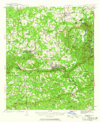
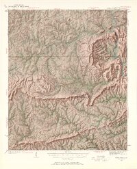
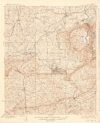
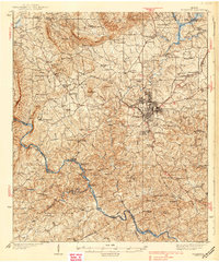
1934 Map of Warm Springs
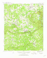
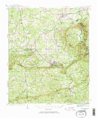
USGS Topo · Published 1958About this map
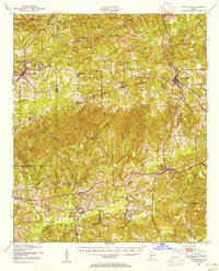
Warm Springs Foundation and its therapeutic waters anchor this 1930s survey of the Pine Mountain ridge, a landscape defined by sharp topographical relief and intersectional infrastructure. The map documents the region's development during the New Deal era, including the Warn Springs Landing Field and the U S Fish Hatchery. Further east, the rail-oriented hub of Manchester serves as a nexus for the Atlanta Birmingham and Coast and the Southern railroads, illustrating the industrial importance of the gap through the mountain.
Find a feature on this map
113 named features on this map. Tap any name to fly to it.
Don’t see what you’re looking for? This feature index may not catch every label — zoom into the map to look around manually.
Map Details
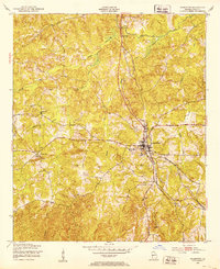
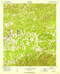
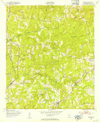
Editions of this 1934 Warm Springs Map
7 editions found
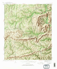
Other maps of this area

1907 · Talbotton
USGS Topo · 1:125,000

1935 · Thomaston
USGS Topo · 1:48,000
1936 · Warm Springs
USGS Topo · 1:62,500
1939 · Thomaston
USGS Topo · 1:62,500
1950 · Talbotton
USGS Topo · 1:24,000
1950 · Waverly Hall
USGS Topo · 1:24,000
1950 · Cataula
USGS Topo · 1:24,000
1950 · Talbotton
USGS Topo · 1:62,500

1950 · Ellerslie
USGS Topo · 1:62,500

1953 · Atlanta
USGS Topo · 1:250,000