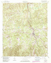
1950 Map of Talbotton
USGS Topo · Published 1955About this map
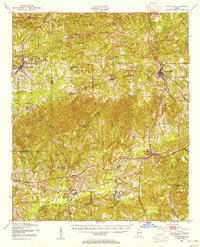
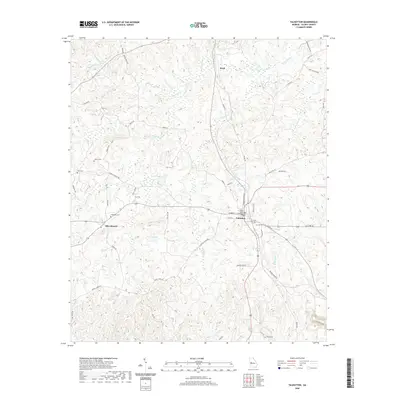
The town of Talbotton serves as a prominent rail and road hub in this mid-century portrait of western Georgia. The Central of Georgia and Southern railroads carve paths through a landscape defined by numerous small creek systems, including Upatoi Creek and Lazar Creek. To the southwest, the northern reaches of the Fort Benning Military Reservation indicate the significant military footprint on the region.
Find a feature on this map
61 named features on this map. Tap any name to fly to it.
Don’t see what you’re looking for? This feature index may not catch every label — zoom into the map to look around manually.
Map Details
Editions of this 1950 Talbotton Map
This is the sole edition of this map. No revisions or reprints were ever made.
Historical Maps of Columbus Through Time
10 maps found
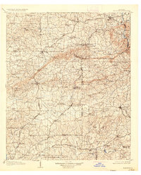
1907 Talbotton
Talbot County, GA
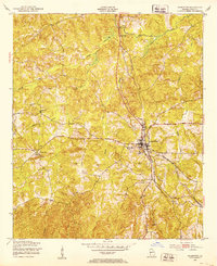
1950 Talbotton
Talbot County, GA
1950 Talbotton
Talbot County, GA
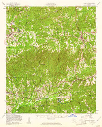
1955 Talbotton
Talbot County, GA
1955 Talbotton
Talbot County, GA
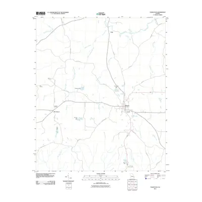
2011 Talbotton
Talbot County, GA
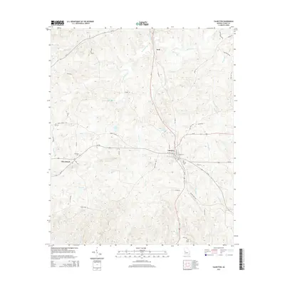
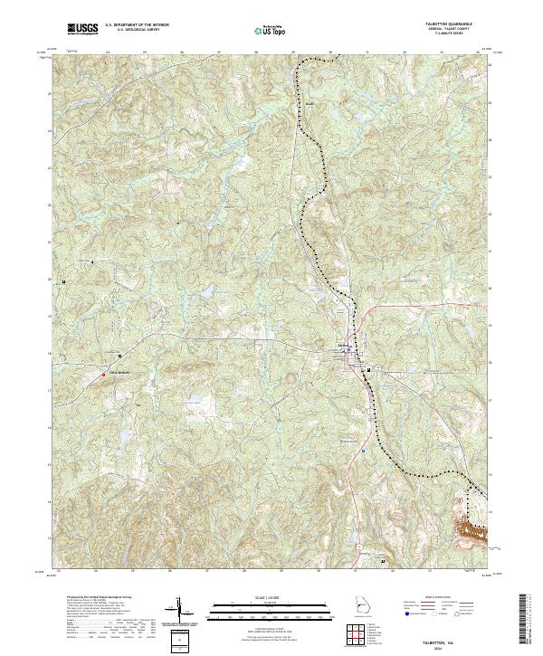
2014 Talbotton
Talbot County, GA
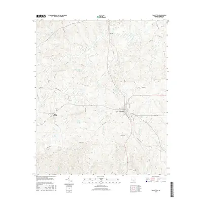
2017 Talbotton
Talbot County, GA
2020 Talbotton
Talbot County, GA
2024 Talbotton
Talbot County, GA