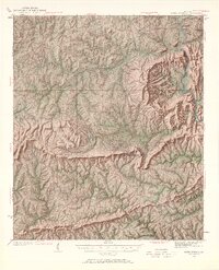
1934 Map of Warm Springs
USGS Topo · Published 1967About this map
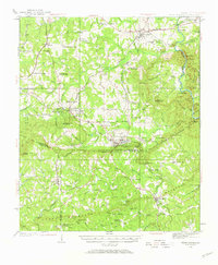
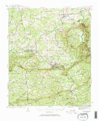
Warm Springs Foundation sits at the heart of this mid-1930s landscape, reflecting the era's focus on this central Georgia destination. The map documents a complex rail and road network, with the Southern, Central of Georgia, and Atlanta and Birmingham Coast lines converging near the manufacturing and transit hub of Manchester. The topography is defined by the sharp ridges of Oak Mountain and the Pine Mountain range, where gaps like Hodo Gap and Johnson Gap dictate the path of travel between rural crossroads. Rural life is anchored by numerous country churches and schools, such as Bethesda Ch and Campbell Sch, while the Flint River marks the eastern boundary. This survey captures a moment when the F D Roosevelt Highway was a primary artery connecting the springs to the surrounding farming communities.
Find a feature on this map
98 named features on this map. Tap any name to fly to it.
Don’t see what you’re looking for? This feature index may not catch every label — zoom into the map to look around manually.
Map Details
Editions of this 1934 Warm Springs Map
7 editions found
Other maps of this area

1907 · Talbotton
USGS Topo · 1:125,000

1934 · Warm Springs
USGS Topo · 1:62,500

1935 · Thomaston
USGS Topo · 1:48,000

1936 · Warm Springs
USGS Topo · 1:62,500

1939 · Thomaston
USGS Topo · 1:62,500

1950 · Talbotton
USGS Topo · 1:24,000

1950 · Waverly Hall
USGS Topo · 1:24,000

1950 · Cataula
USGS Topo · 1:24,000

1950 · Talbotton
USGS Topo · 1:62,500

1950 · Ellerslie
USGS Topo · 1:62,500