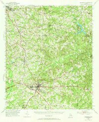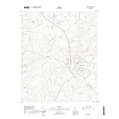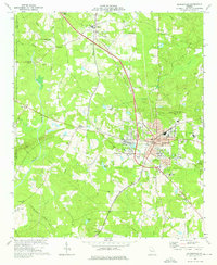
1973 Map of Barnesville
USGS Topo · Published 1976About this map
Barnesville and Milner serve as the primary anchors of this mid-1970s survey, illustrating a landscape where historical rail lines and educational institutions define the community structure. The Central of Georgia railroad cuts north-south through the terrain, connecting small industrial pockets like Aldora to the regional network. Notable for genealogists and local historians, the map identifies numerous rural landmarks, from the Confederate Cem near Milner to family-named landmarks like Woodfin Mill on Potato Creek. Educational history is well-represented by Gordon Jr College in the heart of Barnesville, alongside various neighborhood schools such as Birch Street Sch and Graham Street Sch. The presence of numerous small churches, including Mt Calvary Ch and Holly Grove Ch, reflects the traditional settlement patterns that persisted even as modern developments like the Industrial Waste Pond began to appear on the outskirts of town.
Find a feature on this map
63 named features on this map. Tap any name to fly to it.
Don’t see what you’re looking for? This feature index may not catch every label — zoom into the map to look around manually.
Map Details
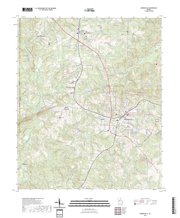
Editions of this 1973 Barnesville Map
This is the sole edition of this map. No revisions or reprints were ever made.
Historical Maps of Barnesville Through Time
7 maps found