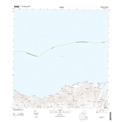
2013 Map of Baron Bluff
USGS Topo · Published 2013About this map
Saint Croix rising from the Caribbean Sea defines this 2013 survey of the island's north shore. The terrain is marked by significant elevations including Blue Mountain and Mount Eagle, which overlook a string of settlements and historical estates. Along the coast, the geography transitions from the prominent Baron Bluff and Rustoptwist Point to the sheltered waters of Salt River Bay and the popular Canebay.
Find a feature on this map
50 named features on this map. Tap any name to fly to it.
Don’t see what you’re looking for? This feature index may not catch every label — zoom into the map to look around manually.
Map Details
Editions of this 2013 Baron Bluff Map
This is the sole edition of this map. No revisions or reprints were ever made.
Other maps of this area
1958 · Christiansted
USGS Topo · 1:24,000
1958 · Frederiksted
USGS Topo · 1:24,000
2013 · Beauregard Bay
USGS Topo · 1:20,000
2013 · Christiansted
USGS Topo · 1:20,000
2013 · Hams Bay
USGS Topo · 1:20,000
2013 · Long Point
USGS Topo · 1:20,000
2013 · Frederiksted
USGS Topo · 1:20,000
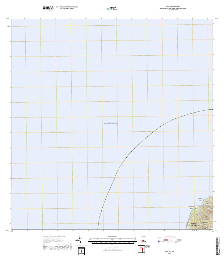
2024 · Hams Bay
USGS Topo · 1:20,000
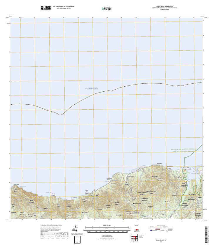
2024 · Baron Bluff
USGS Topo · 1:20,000
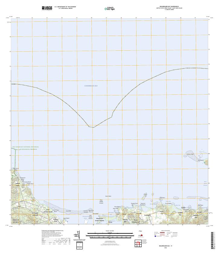
2024 · Beauregard Bay
USGS Topo · 1:20,000
Featured Places
- Little Fountain, Saint Croix District
- Annaly, Saint Croix District
- Cane Bay, Saint Croix District
- Concordia, Saint Croix District
- Windsor, Saint Croix District