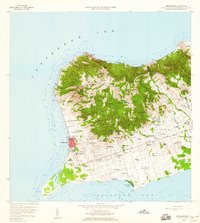
1958 Map of Frederiksted
USGS Topo · Published 1960About this map
Frederiksted serves as the focal point of this coastal survey, where the harbor and Fort Frederick Light meet the western shore of St. Croix. The landscape transitions from the urban grid near the Hospital and St Patricks Sch to a vast network of estates and settlements further inland. The naming conventions of the day are on full display, with many tracts bearing evocative names like Betty's Hope, Wheel of Fortune, and Envy, reflecting the colonial-era plantation system's lasting imprint on the local geography. Transportation and connectivity are defined by the Mahogany Road and Centerline Road, while the southern end of the island is anchored by the Alexander Hamilton Airport. Topographic details reveal a diverse terrain, from the heights of Mt Eagle and Blue Mtn in the north to the Saltpond and low-lying coastal features like Sandy Point in the southwest.
Find a feature on this map
132 named features on this map. Tap any name to fly to it.
Don’t see what you’re looking for? This feature index may not catch every label — zoom into the map to look around manually.
Map Details
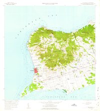
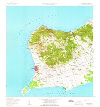
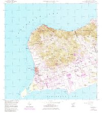
Editions of this 1958 Frederiksted Map
4 editions found
Other maps of this area
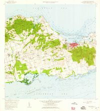
1958 · Christiansted
USGS Topo · 1:24,000
2013 · Hams Bay
USGS Topo · 1:20,000
2013 · Long Point
USGS Topo · 1:20,000
2013 · Baron Bluff
USGS Topo · 1:20,000
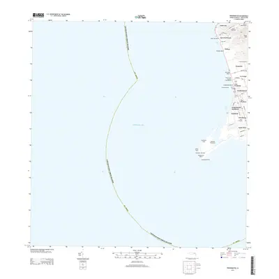
2013 · Frederiksted
USGS Topo · 1:20,000
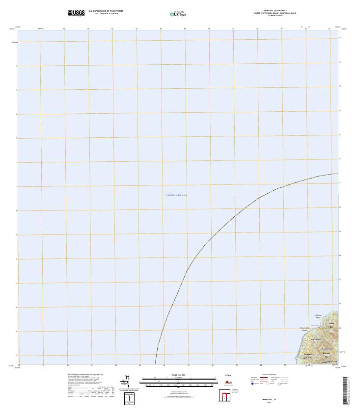
2024 · Hams Bay
USGS Topo · 1:20,000
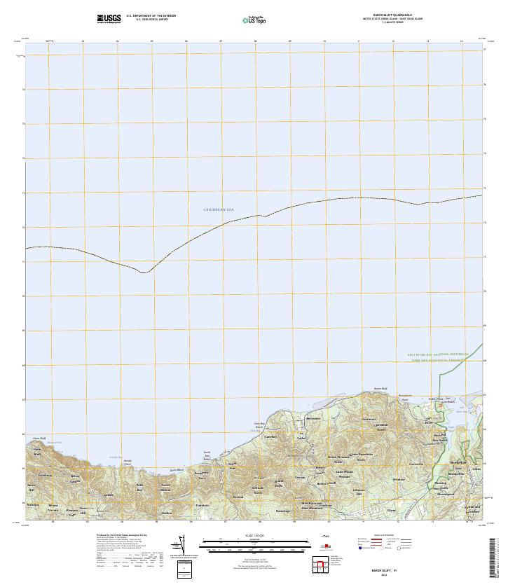
2024 · Baron Bluff
USGS Topo · 1:20,000
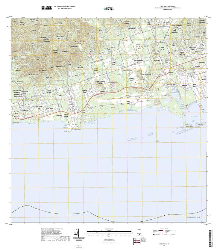
2024 · Long Point
USGS Topo · 1:20,000
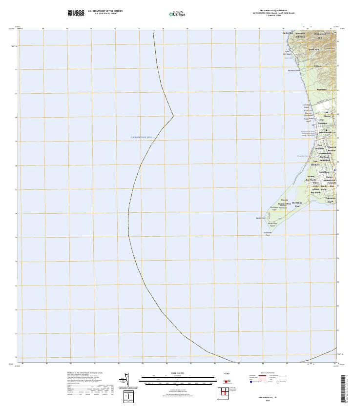
2024 · Frederiksted
USGS Topo · 1:20,000
Featured Places
- Mountain, Saint Croix District
- Robe Hill, Saint Croix District
- Allandale, Saint Croix District
- Whites Bay, Saint Croix District
- Sprat Hall, Saint Croix District