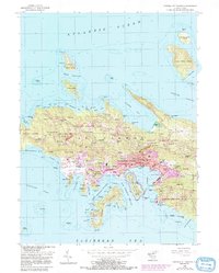
1955 Map of Central St. Thomas
USGS Topo · Published 1987About this map
Charlotte Amalie serves as the focal point of this mid-century survey, revealing the intricate layout of the harbor and its surrounding hillsides. The urban landscape is anchored by landmarks such as Fort Christian and Government House, while the waterfront shows the functional layout of St Thomas Harbor and Long Bay. Significant maritime and aviation infrastructure is evident at the Harry S Truman Airport and the narrow passages of West Gregerie Channel.
Find a feature on this map
136 named features on this map. Tap any name to fly to it.
Don’t see what you’re looking for? This feature index may not catch every label — zoom into the map to look around manually.
Map Details
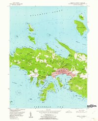
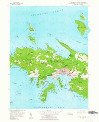
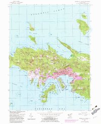
Editions of this 1955 Central St. Thomas Map
5 editions found
Other maps of this area
1954 · Eastern St. Thomas
USGS Topo · 1:24,000
1955 · Western St. Thomas
USGS Topo · 1:24,000
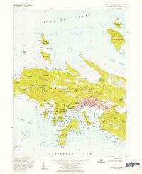
1955 · Central St. Thomas
USGS Topo · 1:24,000
2013 · Savana Passage OE N
USGS Topo · 1:20,000
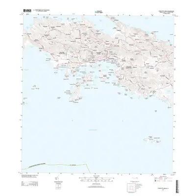
2013 · Charlotte Amalie
USGS Topo · 1:20,000
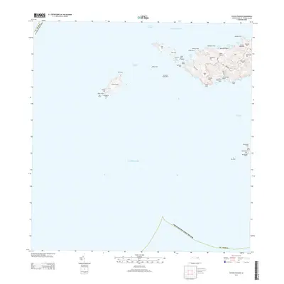
2013 · Savana Passage
USGS Topo · 1:20,000
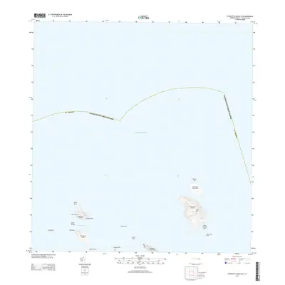
2013 · Charlotte Amalie OE N
USGS Topo · 1:20,000
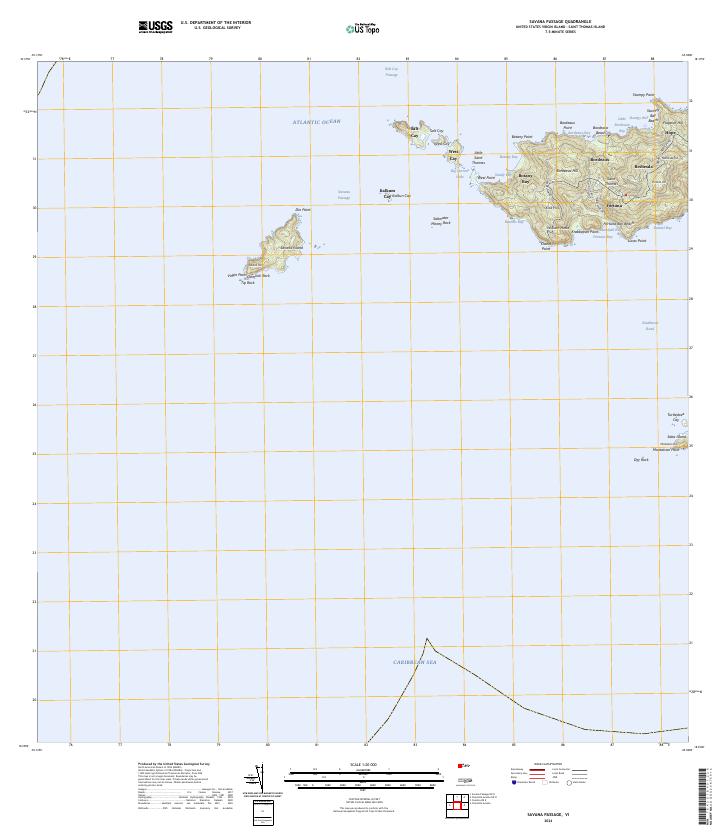
2024 · Savana Passage
USGS Topo · 1:20,000
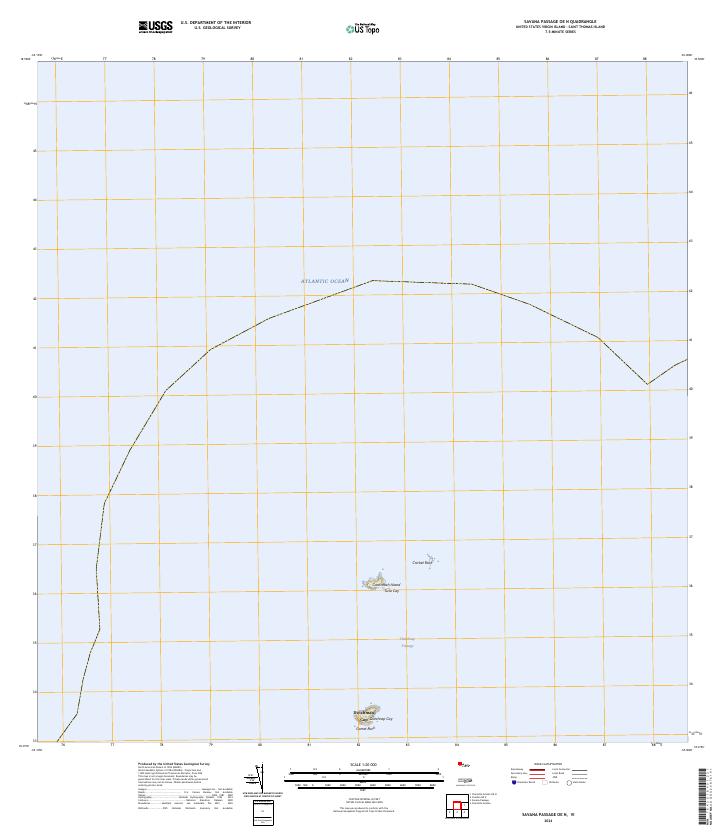
2024 · Savana Passage OE N
USGS Topo · 1:20,000
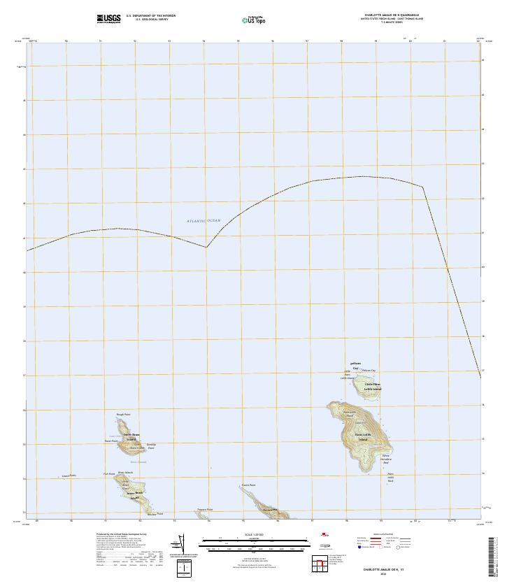
2024 · Charlotte Amalie OE N
USGS Topo · 1:20,000
Featured Places
- Charlotte Amalie, Saint Thomas - Saint John District
- Anna's Retreat, Saint Thomas - Saint John District
- Charlotte Amalie West, Charlotte Amalie
- United States Virgin Islands
- Charlotte Amalie Historic District, Charlotte Amalie