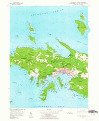
1955 Map of Central St. Thomas
USGS Topo · Published 1965About this map
Charlotte Amalie serves as the dense urban anchor of this mid-century survey, its harbor busy with Kings Wharf and the defensive positioning of Fort Christian and Cowell Battery. The map captures the island's transition from colonial agricultural origins to a modern hub, noting numerous residential estates like Santa Maria Estate and Caret Bay Estate along the steep northern ridges.
Find a feature on this map
140 named features on this map. Tap any name to fly to it.
Don’t see what you’re looking for? This feature index may not catch every label — zoom into the map to look around manually.
Map Details
Editions of this 1955 Central St. Thomas Map
5 editions found
Other maps of this area
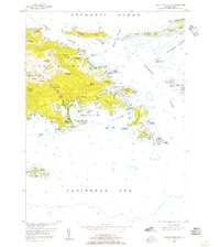
1954 · Eastern St. Thomas
USGS Topo · 1:24,000
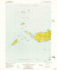
1955 · Western St. Thomas
USGS Topo · 1:24,000
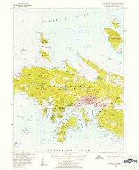
1955 · Central St. Thomas
USGS Topo · 1:24,000
2013 · Savana Passage OE N
USGS Topo · 1:20,000
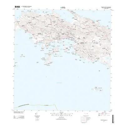
2013 · Charlotte Amalie
USGS Topo · 1:20,000
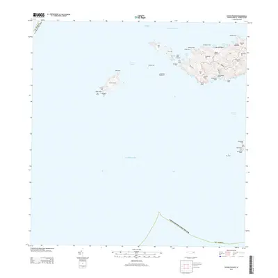
2013 · Savana Passage
USGS Topo · 1:20,000
2013 · Charlotte Amalie OE N
USGS Topo · 1:20,000
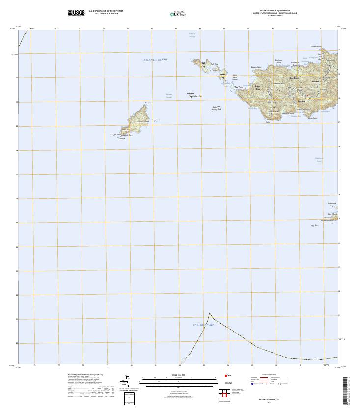
2024 · Savana Passage
USGS Topo · 1:20,000
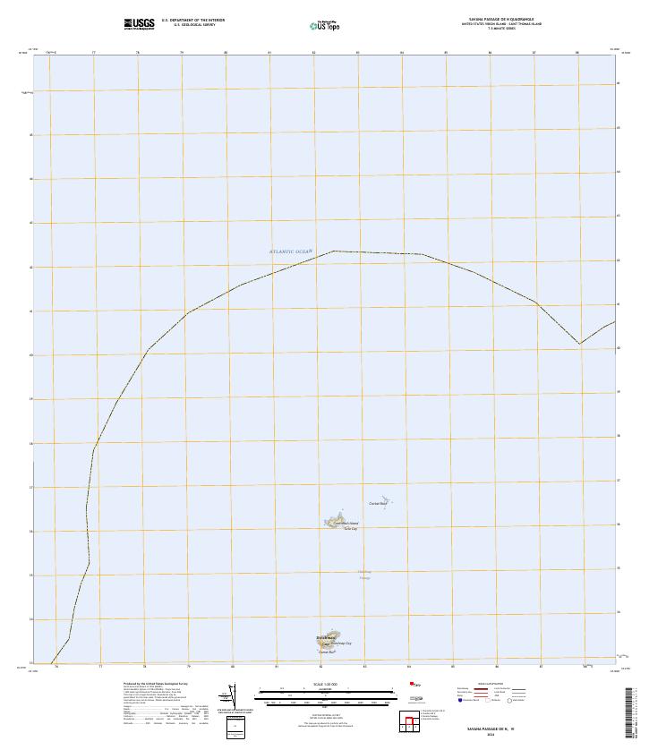
2024 · Savana Passage OE N
USGS Topo · 1:20,000
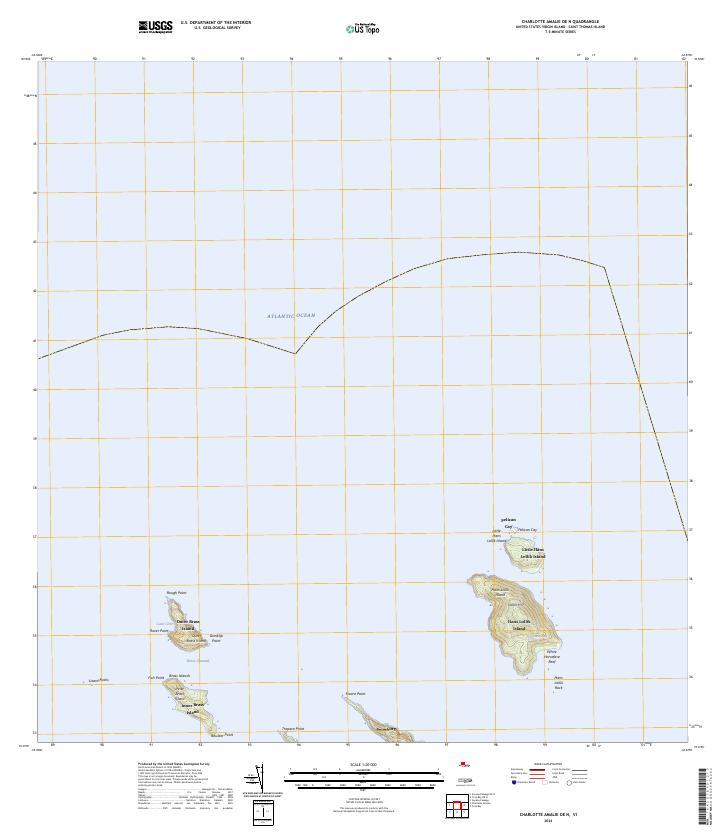
2024 · Charlotte Amalie OE N
USGS Topo · 1:20,000
Featured Places
- Charlotte Amalie, Saint Thomas - Saint John District
- Anna's Retreat, Saint Thomas - Saint John District
- Charlotte Amalie West, Charlotte Amalie
- United States Virgin Islands
- Charlotte Amalie Historic District, Charlotte Amalie