Old Maps of Anna's Retreat, Saint Thomas - Saint John District
Explore 6 old maps of Anna's Retreat, spanning from 1954 to today. These high-resolution historic maps reveal how streets, neighborhoods, landmarks, and natural features evolved over time — perfect for genealogy, metal detecting, research, and local history exploration.
What you can do with these maps:
- See how Anna's Retreat changed over time: Compare historical maps to modern-day views to trace roads, homesites, rail lines & more.
- View detailed metadata: Each map includes creators, publishers, year, scale, and archive source.
- Overlay maps with satellite & LiDAR: Visualize the past alongside modern tools to explore terrain & human change.
- Trusted historical sources: Maps sourced from the USGS, Library of Congress, and other archives.
- Access maps your way: View online, download high-res files, or order prints for personal or research use.
Start exploring old maps of Anna's Retreat to uncover forgotten places, hidden landmarks, and the deep history beneath your feet.
Anna's Retreat, Saint Thomas - Saint John District maps
(6)- 1954 Map of Eastern St. Thomas, 1956 Print
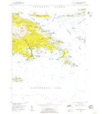 1954 Eastern St. Thomas1956 Print · USGSThe eastern half of St. Thomas is captured here in the mid-1950s, detailing a period of established island settlements and maritime navigation. Trace the early road networks connecting Mandal, Mt Zion, and Nazareth, or locate the Lighthouse and coastal landmarks like Mangrove Lagoon.4 unique versions available
 - 1955 Map of Central St. Thomas, 1956 Print
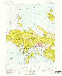 1955 Central St. Thomas1956 Print · USGSSt. Thomas was undergoing a period of significant postwar growth when this mid-century survey was conducted. Researchers can trace the layout of Charlotte Amalie and locate historical landmarks like Fort Christian, Nisky Mission, and the Bluebeard Castle estate.5 unique versions available
 - 2013 Map of Charlotte Amalie, 2013 Print
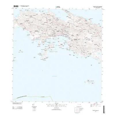 2013 Charlotte Amalie2013 Print · USGSSaint Thomas comes alive in this 2013 survey, detailing the intricate coastline and interior hills of the U.S. Virgin Islands. Genealogists and historians can trace family estates and landmarks from Fort Christian and the Old Jewish Cemetery to Bluebeard Hill.
 - 2013 Map of Cruz Bay, 2013 Print
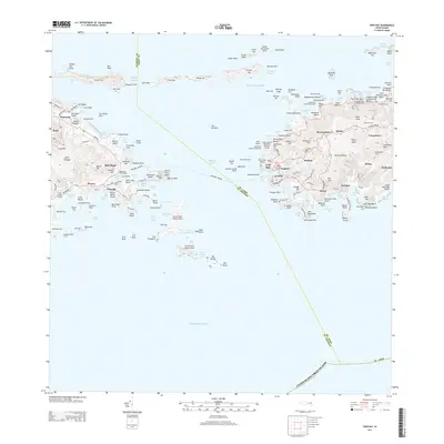 2013 Cruz Bay2013 Print · USGSThe eastern shore of Saint Thomas and the gateway to Saint John are captured here just over a decade ago. Genealogists and island historians can trace established settlements like Cruz Bay and Enighed or locate historic landmarks such as the Windmill Tower and Herman Farm.
 - 2024 Map of Cruz Bay, 2024 Print
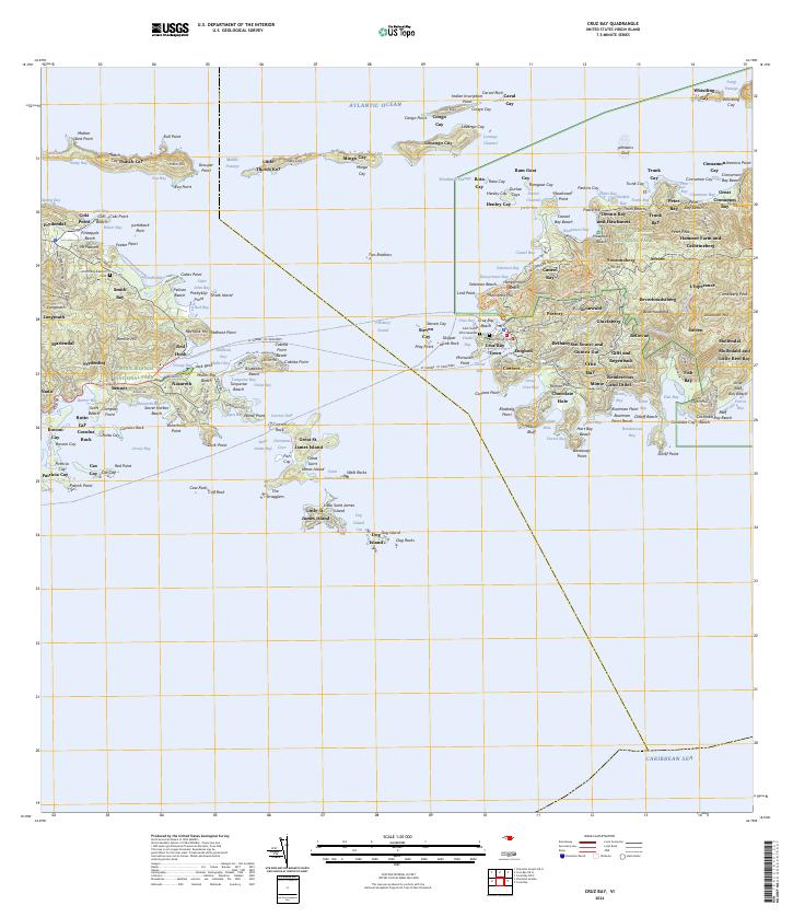 2024 Cruz Bay2024 Print · USGSThe waters and hills of Saint John and eastern Saint Thomas are shown in their current form, including the entire Virgin Islands National Park boundary. Trace the heritage of the islands through old estate names and burial sites like L'Esperance and the Beverhoudt Cem.
 - 2024 Map of Charlotte Amalie, 2024 Print
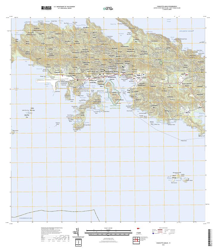 2024 Charlotte Amalie2024 Print · USGSSaint Thomas comes into sharp focus during the 2020s, showing the intricate layout of its capital and surrounding bays. Researchers can pinpoint historic locations like Nisky Moravian Cem, the Danish Cem, and the defensive ruins at Cowell Battery.
End of results
Showing maps 1-6 of 6
Top cities near Anna's Retreat
Frequently asked questions
- What are the different types of historical maps available for Anna's Retreat?
- What is the oldest map of Anna's Retreat?
- Where can I purchase historical maps of Anna's Retreat for my home or office?
- Where can I download high-res historical maps of Anna's Retreat?
- Are there historical topographic maps available for Anna's Retreat?
- Is there historical aerial imagery available for Anna's Retreat?
- Where are historical maps of Anna's Retreat sourced from?