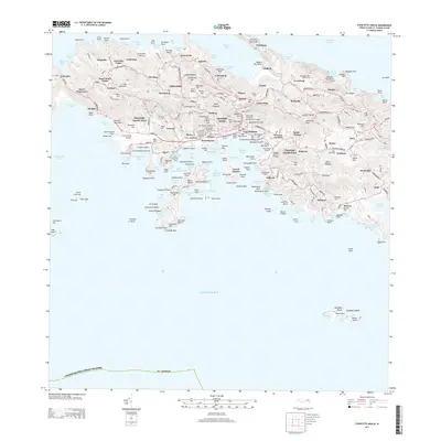
2013 Map of Charlotte Amalie
USGS Topo · Published 2013About this map
Fort Christian stands as a central landmark in this 2013 survey of Saint Thomas, overlooking the bustling harbor and the historic core of the city. The landscape is a dense network of residential estates and historic sites, including the Danish Cemetery, Jewish Cemetery, and Bluebeard Castle. Transportation and commerce are centered around the Cyril E King Airport and the complex shoreline of Lindbergh Bay and Krum Bay. Beyond the urban center, the map reveals the island's coastal geography, from the popular Magens Bay in the north to Water Island in the south. Notable recreational and research facilities like the Mahogany Run Golf Course and the Marine Science Center underscore the island's modern character. This detailed record captures the island's infrastructure, ranging from the steep Crown Mountain Rd to the various settlements like Dorothea and Tutu that dot the hillsides.
Find a feature on this map
211 named features on this map. Tap any name to fly to it.
Don’t see what you’re looking for? This feature index may not catch every label — zoom into the map to look around manually.
Map Details
Editions of this 2013 Charlotte Amalie Map
This is the sole edition of this map. No revisions or reprints were ever made.
Other maps of this area
1954 · Eastern St. Thomas
USGS Topo · 1:24,000
1955 · Western St. Thomas
USGS Topo · 1:24,000
1955 · Central St. Thomas
USGS Topo · 1:24,000
2013 · Savana Passage OE N
USGS Topo · 1:20,000
2013 · Cruz Bay OE N
USGS Topo · 1:20,000
2013 · Savana Passage
USGS Topo · 1:20,000
2013 · Cruz Bay
USGS Topo · 1:20,000
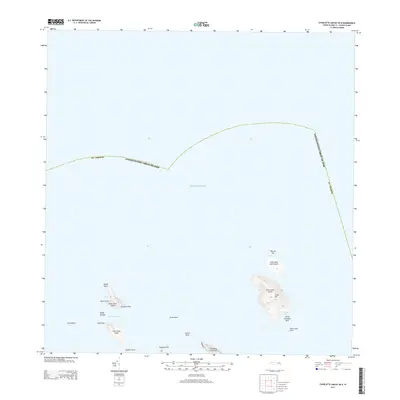
2013 · Charlotte Amalie OE N
USGS Topo · 1:20,000
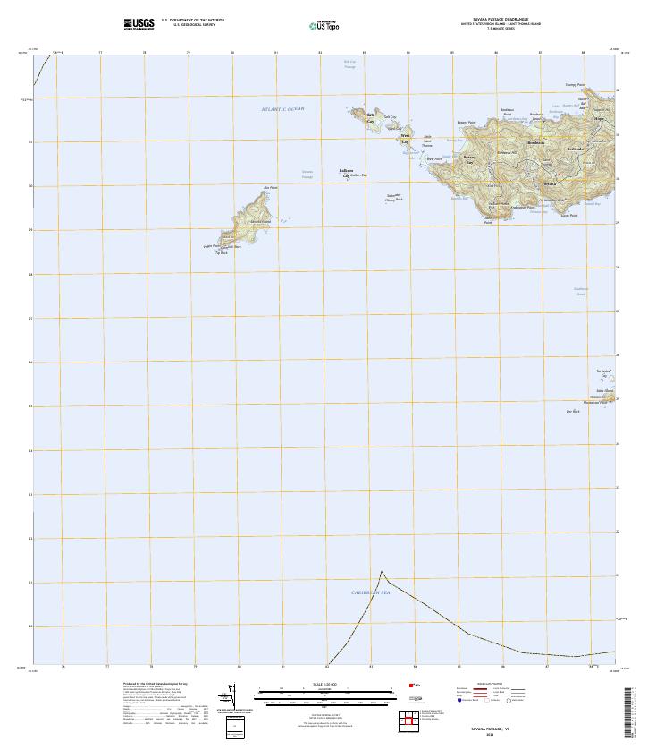
2024 · Savana Passage
USGS Topo · 1:20,000
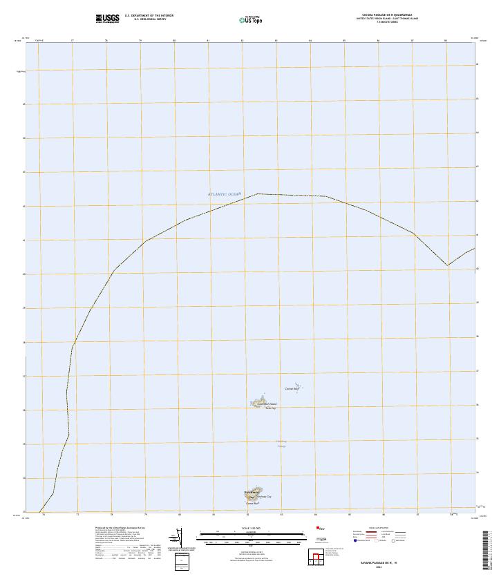
2024 · Savana Passage OE N
USGS Topo · 1:20,000
Featured Places
- Charlotte Amalie, Saint Thomas - Saint John District
- Anna's Retreat, Saint Thomas - Saint John District
- Charlotte Amalie West, Charlotte Amalie
- United States Virgin Islands
- Saint Thomas - Saint John District