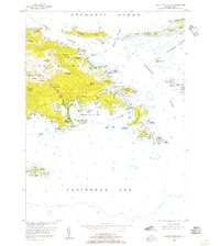
1954 Map of Eastern St. Thomas
USGS Topo · Published 1956About this map
Mandal and the northern coastline of St. Thomas define the upper reaches of this mid-century survey, where the island's steep topography transitions into the Atlantic Ocean. The landscape is dotted with several small settlements such as Frydendal, Tutu, and Nazareth, which are connected by a developing road network through the hills. Of particular interest is the prominent Turpentine Run valley, which serves as a central drainage and transit corridor leading south toward the intricate coastline of Mangrove Lagoon.
Find a feature on this map
97 named features on this map. Tap any name to fly to it.
Don’t see what you’re looking for? This feature index may not catch every label — zoom into the map to look around manually.
Map Details
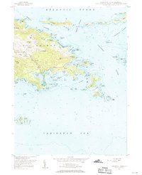
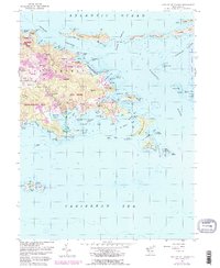
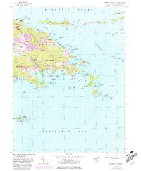
Editions of this 1954 Eastern St. Thomas Map
4 editions found
Other maps of this area
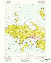
1955 · Central St. Thomas
USGS Topo · 1:24,000
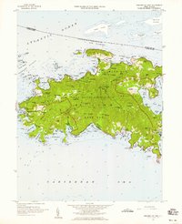
1958 · Western St. John
USGS Topo · 1:24,000
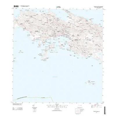
2013 · Charlotte Amalie
USGS Topo · 1:20,000
2013 · Cruz Bay OE N
USGS Topo · 1:20,000
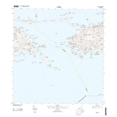
2013 · Cruz Bay
USGS Topo · 1:20,000
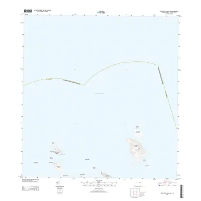
2013 · Charlotte Amalie OE N
USGS Topo · 1:20,000
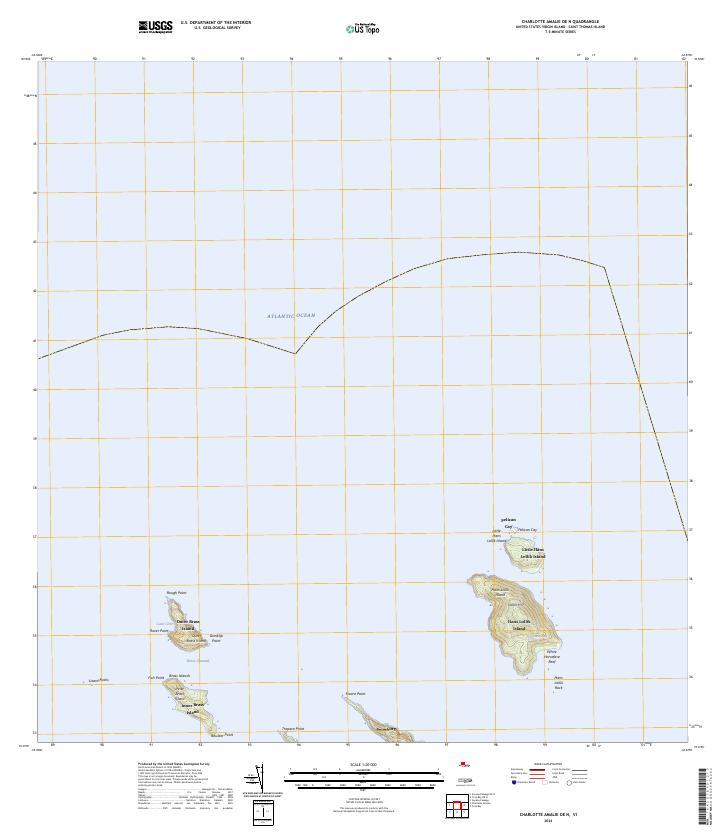
2024 · Charlotte Amalie OE N
USGS Topo · 1:20,000
2024 · Cruz Bay OE N
USGS Topo · 1:20,000
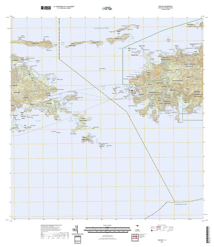
2024 · Cruz Bay
USGS Topo · 1:20,000
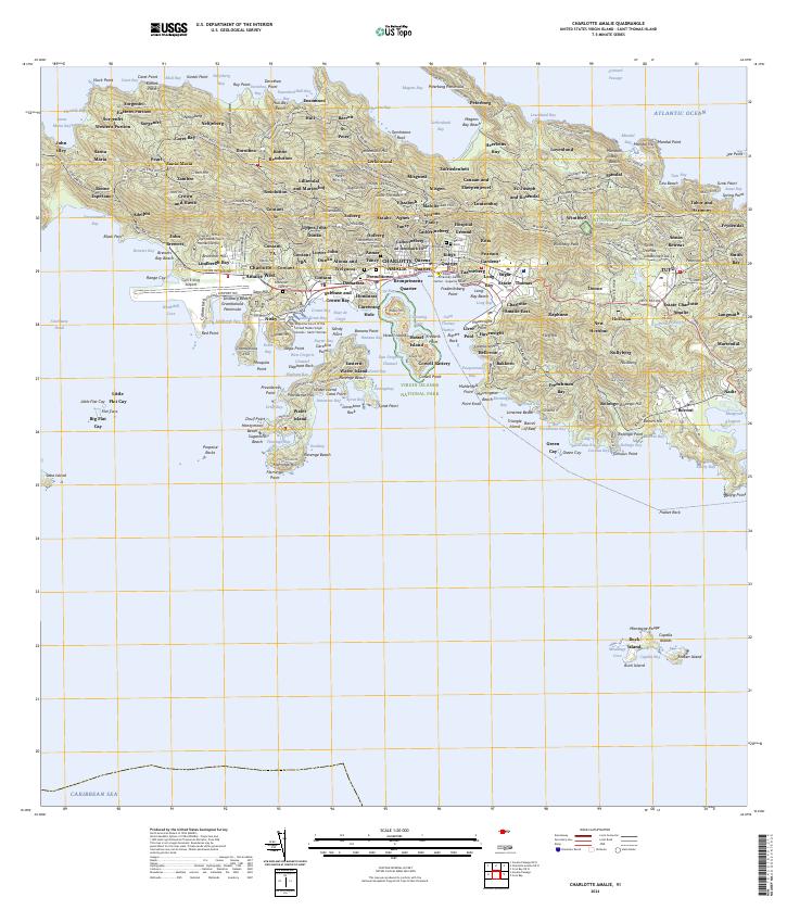
2024 · Charlotte Amalie
USGS Topo · 1:20,000
Featured Places
- Anna's Retreat, Saint Thomas - Saint John District
- United States Virgin Islands
- Saint Thomas - Saint John District