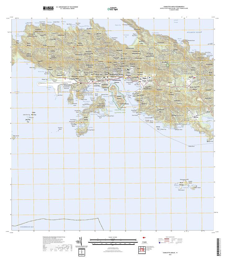
2024 Map of Charlotte Amalie
USGS Topo · Published 2024About this map
Saint Thomas Harbor serves as the central focal point for this detail of the U.S. Virgin Islands, anchoring a landscape where steep hillsides meet the Caribbean. The urban density of Charlotte Amalie transitions into distinct neighborhoods like Frenchtown and Altona and Welgunst, while the presence of the University of the Virgin Islands Saint Thomas Campus and the Cyril E King Airport reflect the modern infrastructure of the territory.
Find a feature on this map
254 named features on this map. Tap any name to fly to it.
Don’t see what you’re looking for? This feature index may not catch every label — zoom into the map to look around manually.
Map Details
Editions of this 2024 Charlotte Amalie Map
This is the sole edition of this map. No revisions or reprints were ever made.
Other maps of this area
1954 · Eastern St. Thomas
USGS Topo · 1:24,000
1955 · Western St. Thomas
USGS Topo · 1:24,000
1955 · Central St. Thomas
USGS Topo · 1:24,000
2013 · Savana Passage OE N
USGS Topo · 1:20,000
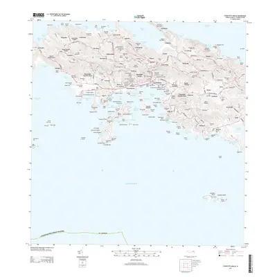
2013 · Charlotte Amalie
USGS Topo · 1:20,000
2013 · Cruz Bay OE N
USGS Topo · 1:20,000
2013 · Savana Passage
USGS Topo · 1:20,000
2013 · Cruz Bay
USGS Topo · 1:20,000
2013 · Charlotte Amalie OE N
USGS Topo · 1:20,000
2024 · Savana Passage
USGS Topo · 1:20,000
Featured Places
- Charlotte Amalie, Saint Thomas - Saint John District
- Anna's Retreat, Saint Thomas - Saint John District
- Charlotte Amalie West, Charlotte Amalie
- Market Square, Charlotte Amalie
- United States Virgin Islands