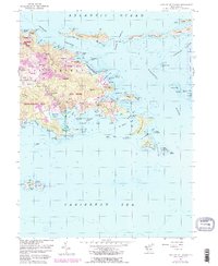
1954 Map of Eastern St. Thomas
USGS Topo · Published 1983About this map
Great North Side and the eastern heights of St. Thomas define this tropical landscape, where the island narrows toward the Pillsbury Sound. Small residential clusters like Frydendal, Mariendal, and Nadir are situated inland, while the drainage of Turpentine Run snakes through the valley toward Mangrove Lagoon. Along the coast, the map documents a series of protected inlets and points, from Mandal Bay in the north to the busy harbor area of Red Hook. The 1950s data, updated in the early 1980s, reveals a mix of local infrastructure and conservation, including portions of the Virgin Islands National Park and the offshore Buck Island National Wildlife Refuge. Numerous cays, such as Thatch Cay, Grass Cay, and Congo Cay, bridge the waters of the Middle Passage toward St. John.
Find a feature on this map
109 named features on this map. Tap any name to fly to it.
Don’t see what you’re looking for? This feature index may not catch every label — zoom into the map to look around manually.
Map Details
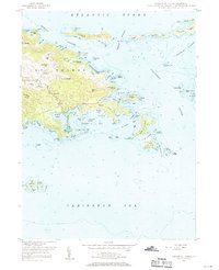
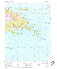
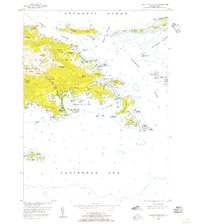
Editions of this 1954 Eastern St. Thomas Map
4 editions found
Other maps of this area
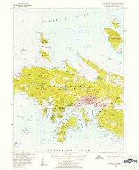
1954 · Eastern St. Thomas
USGS Topo · 1:24,000
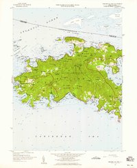
1955 · Central St. Thomas
USGS Topo · 1:24,000
1958 · Western St. John
USGS Topo · 1:24,000
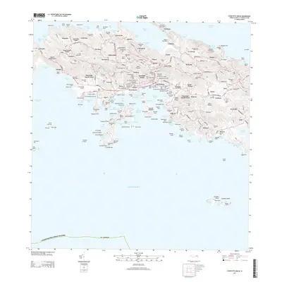
2013 · Charlotte Amalie
USGS Topo · 1:20,000
2013 · Cruz Bay OE N
USGS Topo · 1:20,000
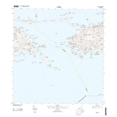
2013 · Cruz Bay
USGS Topo · 1:20,000
2013 · Charlotte Amalie OE N
USGS Topo · 1:20,000
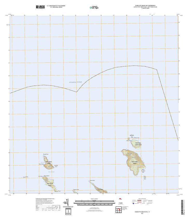
2024 · Charlotte Amalie OE N
USGS Topo · 1:20,000
2024 · Cruz Bay OE N
USGS Topo · 1:20,000
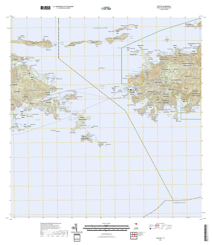
2024 · Cruz Bay
USGS Topo · 1:20,000
Featured Places
- Anna's Retreat, Saint Thomas - Saint John District
- United States Virgin Islands
- Saint Thomas - Saint John District