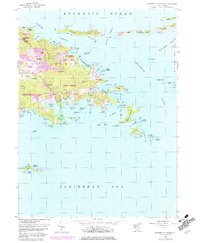
1954 Map of Eastern St. Thomas
USGS Topo · Published 1983About this map
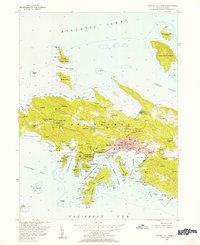
East End and the eastern reaches of St Thomas are captured here in a period of transition, showing the island's terrain from the hills of Great North Side down to the complex shorelines of the Caribbean Sea. The settlement pattern centers on historic estates and family-named localities like Mandal, Frydendal, and Mariendal, which are connected by a developing road network and the prominent Turpentine Run drainage. Land use is notably divided between residential growth and conservation, with the Virgin Islands National Park appearing near Red Hook and the isolated Buck Island National Wildlife Refuge to the south. Marine features are exceptionally detailed, marking numerous bays and passages such as the Leeward Passage and Pillsbury Sound, reflecting the island's enduring maritime character.
Find a feature on this map
108 named features on this map. Tap any name to fly to it.
Don’t see what you’re looking for? This feature index may not catch every label — zoom into the map to look around manually.
Map Details
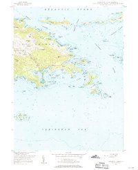
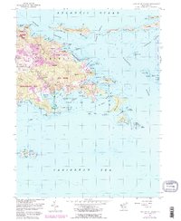
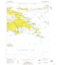
Editions of this 1954 Eastern St. Thomas Map
4 editions found
Other maps of this area
1954 · Eastern St. Thomas
USGS Topo · 1:24,000
1955 · Central St. Thomas
USGS Topo · 1:24,000
1958 · Western St. John
USGS Topo · 1:24,000
2013 · Charlotte Amalie
USGS Topo · 1:20,000
2013 · Cruz Bay OE N
USGS Topo · 1:20,000
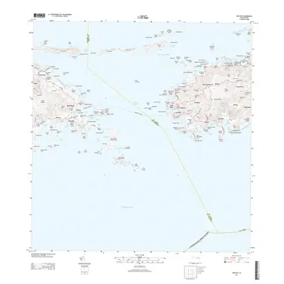
2013 · Cruz Bay
USGS Topo · 1:20,000
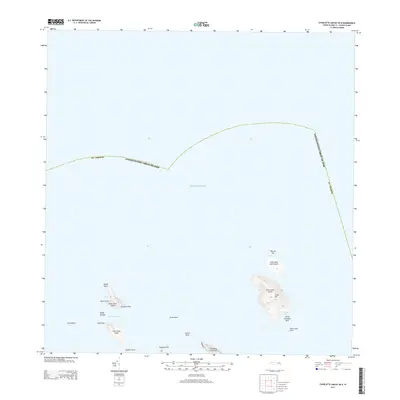
2013 · Charlotte Amalie OE N
USGS Topo · 1:20,000
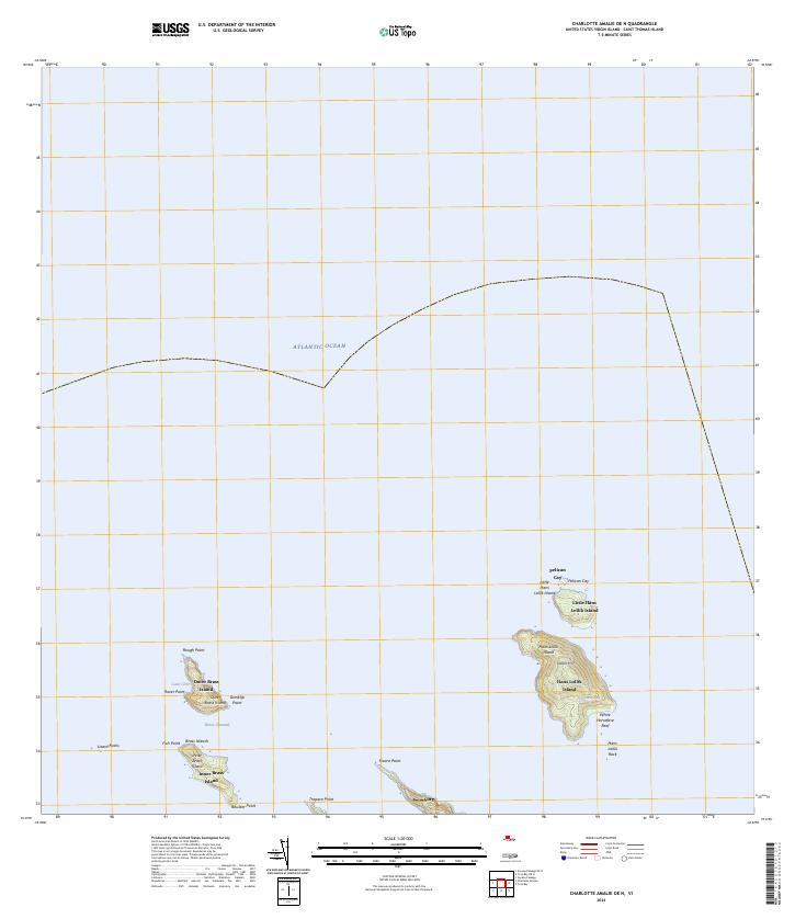
2024 · Charlotte Amalie OE N
USGS Topo · 1:20,000
2024 · Cruz Bay OE N
USGS Topo · 1:20,000
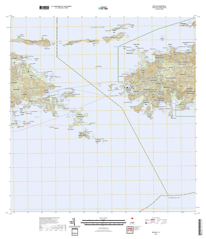
2024 · Cruz Bay
USGS Topo · 1:20,000
Featured Places
- Anna's Retreat, Saint Thomas - Saint John District
- United States Virgin Islands
- Saint Thomas - Saint John District