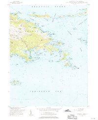
1954 Map of Eastern St. Thomas
USGS Topo · Published 1970About this map
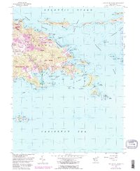
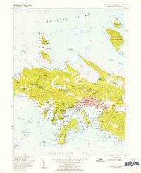
Tutu and Redhook anchor the eastern landscape of St. Thomas during the mid-1950s, a period when the island's inland ridges and coastal indentations remained defined by small settlements and historic estates. From the heights of Mt Zion and Cassi Hill, the terrain descends sharply toward the complex shoreline of Jersey Bay and the sheltered Mangrove Lagoon. This survey captures the rural character of the island before significant modern expansion, illustrating a network of localized communities like Nadir, Benner, and Mariendal connected by winding roads like Turpentine Run. To the east, the map details the chain of smaller islands and cays including Thatch Cay and Grass Cay, which separate the Atlantic Ocean from the Pillsbury Sound. The presence of a Lighthouse near Capella Islands and the concentration of marine features around Vessup Bay reflect the importance of maritime navigation in this Caribbean setting.
Find a feature on this map
106 named features on this map. Tap any name to fly to it.
Don’t see what you’re looking for? This feature index may not catch every label — zoom into the map to look around manually.
Map Details
Editions of this 1954 Eastern St. Thomas Map
4 editions found
Other maps of this area
1954 · Eastern St. Thomas
USGS Topo · 1:24,000
1955 · Central St. Thomas
USGS Topo · 1:24,000
1958 · Western St. John
USGS Topo · 1:24,000
2013 · Charlotte Amalie
USGS Topo · 1:20,000
2013 · Cruz Bay OE N
USGS Topo · 1:20,000
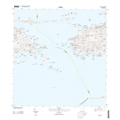
2013 · Cruz Bay
USGS Topo · 1:20,000
2013 · Charlotte Amalie OE N
USGS Topo · 1:20,000
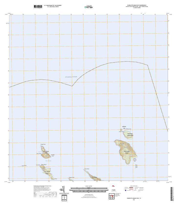
2024 · Charlotte Amalie OE N
USGS Topo · 1:20,000
2024 · Cruz Bay OE N
USGS Topo · 1:20,000
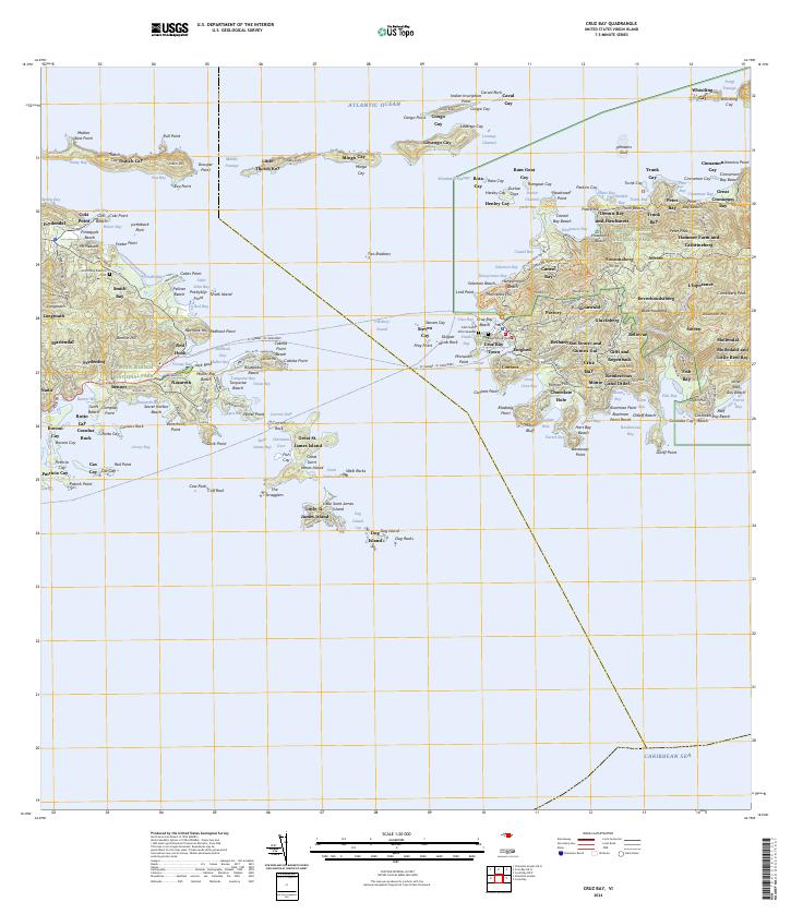
2024 · Cruz Bay
USGS Topo · 1:20,000
Featured Places
- Anna's Retreat, Saint Thomas - Saint John District
- United States Virgin Islands
- Saint Thomas - Saint John District