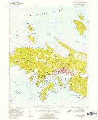
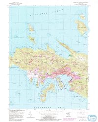
1955 Map of Central St. Thomas
USGS Topo · Published 1956About this map
Charlotte Amalie serves as the focal point of this mid-century topographic study, showing the dense settlement of the territorial capital between the mountains and St Thomas Harbor. The map documents a period of postwar expansion, notably featuring the Harry S Truman Airport on the southern coast and several housing developments like Pearson Gardens. Beyond the urban core, the landscape is dotted with historical landholdings such as Santa Maria Estate, Caret Bay Estate, and Estate Thomas, reflecting the island's transition from an agricultural past to a modern administrative and travel hub.
Find a feature on this map
138 named features on this map. Tap any name to fly to it.
Don’t see what you’re looking for? This feature index may not catch every label — zoom into the map to look around manually.
Map Details
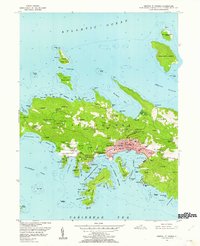
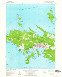
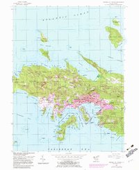
Editions of this 1955 Central St. Thomas Map
5 editions found
Other maps of this area
1954 · Eastern St. Thomas
USGS Topo · 1:24,000
1955 · Western St. Thomas
USGS Topo · 1:24,000
2013 · Savana Passage OE N
USGS Topo · 1:20,000
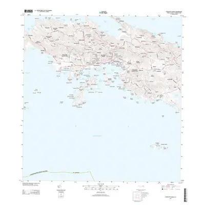
2013 · Charlotte Amalie
USGS Topo · 1:20,000
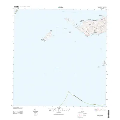
2013 · Savana Passage
USGS Topo · 1:20,000
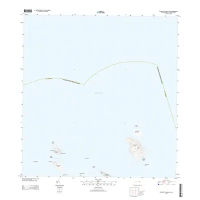
2013 · Charlotte Amalie OE N
USGS Topo · 1:20,000
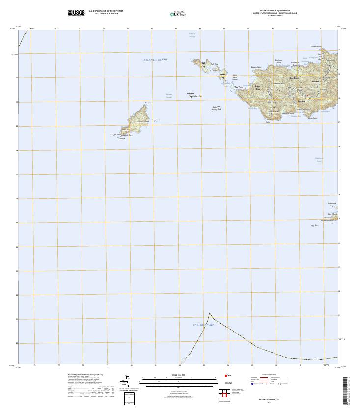
2024 · Savana Passage
USGS Topo · 1:20,000
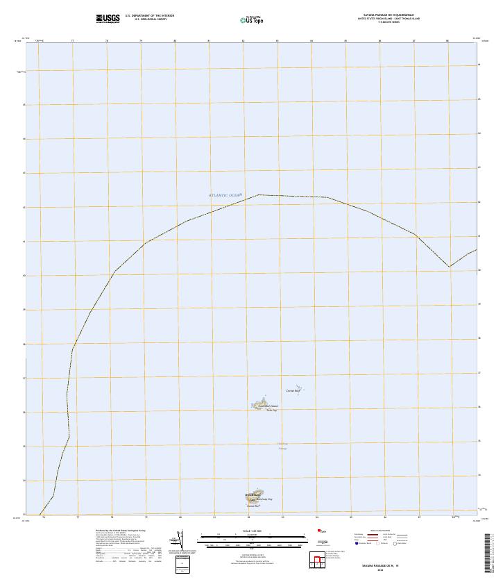
2024 · Savana Passage OE N
USGS Topo · 1:20,000
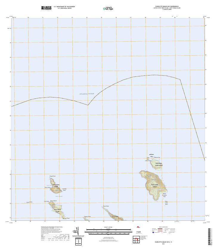
2024 · Charlotte Amalie OE N
USGS Topo · 1:20,000
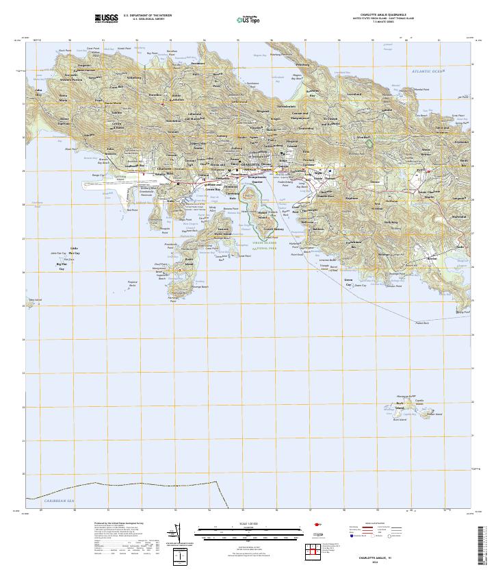
2024 · Charlotte Amalie
USGS Topo · 1:20,000
Featured Places
- Charlotte Amalie, Saint Thomas - Saint John District
- Anna's Retreat, Saint Thomas - Saint John District
- Charlotte Amalie West, Charlotte Amalie
- United States Virgin Islands
- Charlotte Amalie Historic District, Charlotte Amalie