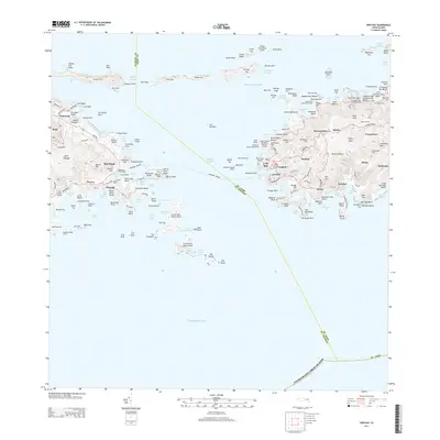
2013 Map of Cruz Bay
USGS Topo · Published 2013About this map
Pillsbury Sound serves as the central maritime corridor on this 2013 survey, separating the eastern reaches of ST Thomas from the rugged coastline of ST John. The settlement of Cruz Bay stands as the primary hub on the western edge of St. John, surrounded by historic hillside locales such as Susannaberg, Bethany, and Beverhoutberg. The landscape is dotted with remnants of the island's plantation and maritime past, including a Windmill Tower near Peace Hill and the Lind Point Battery Overlook.
Find a feature on this map
189 named features on this map. Tap any name to fly to it.
Don’t see what you’re looking for? This feature index may not catch every label — zoom into the map to look around manually.
Map Details
Editions of this 2013 Cruz Bay Map
This is the sole edition of this map. No revisions or reprints were ever made.
Other maps of this area
1954 · Eastern St. Thomas
USGS Topo · 1:24,000
1958 · Western St. John
USGS Topo · 1:24,000
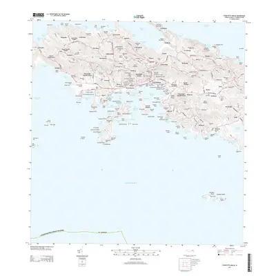
2013 · Charlotte Amalie
USGS Topo · 1:20,000
2013 · Cruz Bay OE N
USGS Topo · 1:20,000
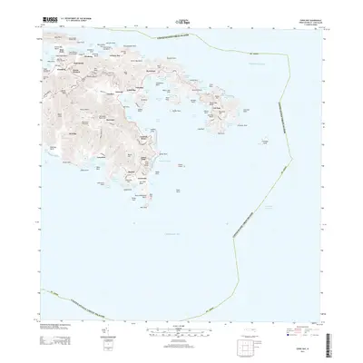
2013 · Coral Bay
USGS Topo · 1:20,000
2013 · Coral Bay OE N
USGS Topo · 1:20,000
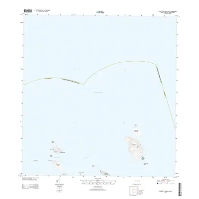
2013 · Charlotte Amalie OE N
USGS Topo · 1:20,000
2024 · Coral Bay OE N
USGS Topo · 1:20,000
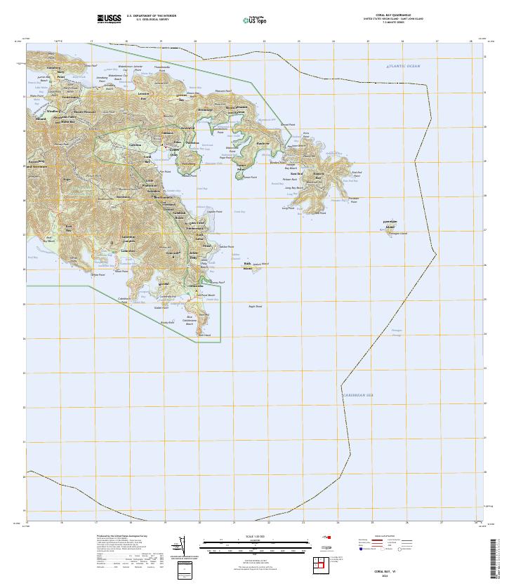
2024 · Coral Bay
USGS Topo · 1:20,000
2024 · Charlotte Amalie OE N
USGS Topo · 1:20,000
Featured Places
- Anna's Retreat, Saint Thomas - Saint John District
- Cruz Bay, Saint Thomas - Saint John District
- United States Virgin Islands
- Saint Thomas - Saint John District
- St. John, Saint Thomas - Saint John District