Loading...
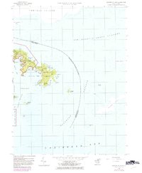
Loading map...1958 Map of Eastern St. John
USGS Topo · Published 1983About this map
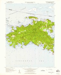
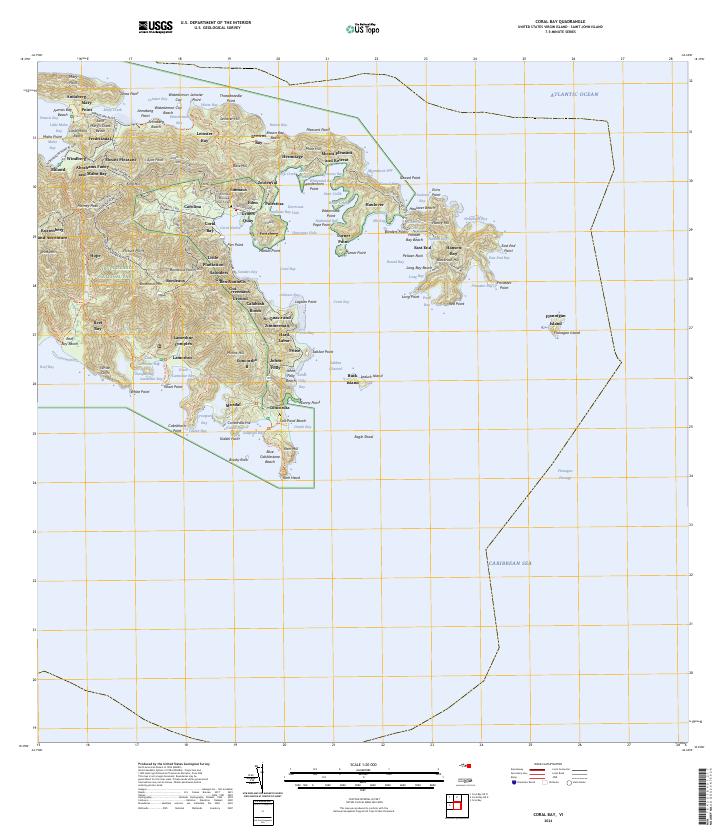
Virgin Islands National Park dominates the western peninsula of this 1958 survey, preserving a landscape of steep ridges and deep coastal indentations. The easternmost tip of St. John is defined by the small settlement at East End and the prominent heights of Blackrock Hill and Nancy Hill. The coastline is remarkably complex, featuring the sheltered waters of Hurricane Hole and the broad expanse of Coral Bay.
Find a feature on this map
50 named features on this map. Tap any name to fly to it.
Don’t see what you’re looking for? This feature index may not catch every label — zoom into the map to look around manually.
Map Details
Date Portrayed1958
Date Published1983
PublisherU.S. Geological Survey
Map TypeTopographic
Scale1:24,000
Physical Dimensions22 x 26.7 inches
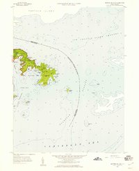
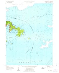
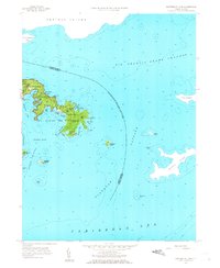
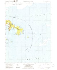
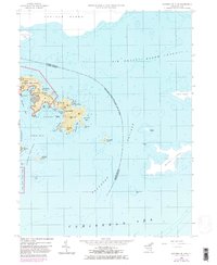
Editions of this 1958 Eastern St. John Map
6 editions found
Other maps of this area
Source Details
SourceU.S. Geological Survey
CopyrightPublic Domain