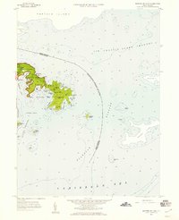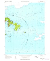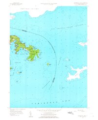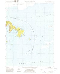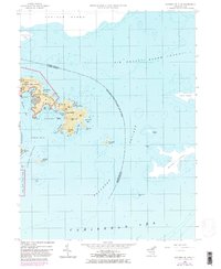
1958 Map of Eastern St. John
USGS Topo · Published 1983About this map
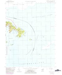
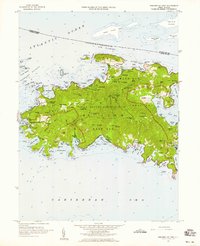
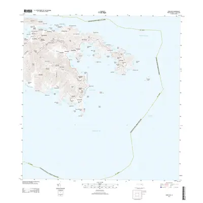
Virgin Islands National Park encompasses much of the rugged eastern shoreline of St. John in this mid-century survey. The landscape is defined by its deeply indented bays and high coastal ridges, including More Hill and Nancy Hill. Near the easternmost tip of the island, the small settlement of East End sits between Hansen Bay and Newfound Bay, representing a secluded community reachable only by unimproved dirt roads at the time of the field check. The maritime environment is exceptionally detailed, recording depth soundings and navigational hazards throughout the Sir Francis Drake Channel and Flanagan Passage. A narrow neck of land known as Haulover separates the protected waters of Coral Bay from the open sea to the north, illustrating the traditional portage point used by sailors to move small vessels between the island's sheltered southern harbors and northern channels.
Find a feature on this map
52 named features on this map. Tap any name to fly to it.
Don’t see what you’re looking for? This feature index may not catch every label — zoom into the map to look around manually.
Map Details
Editions of this 1958 Eastern St. John Map
6 editions found