Loading...
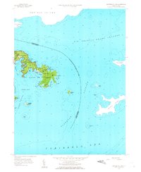
Loading map...1958 Map of Eastern St. John
USGS Topo · Published 1968About this map
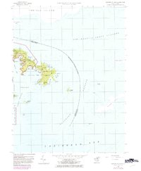
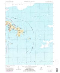
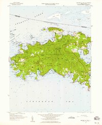
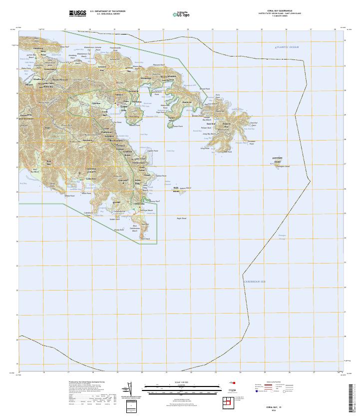
Virgin Islands National Park encompasses much of the eastern peninsula shown in this 1958 survey, where the island’s steep topography drops into the protected waters of Coral Bay. The coastline is defined by a succession of deep inlets and coves, including the well-sheltered Hurricane Hole and Round Bay, which provided vital anchorage for Caribbean maritime traffic. To the north, the international maritime boundary separates the territory from Tortola Island across the Sir Francis Drake Channel.
Find a feature on this map
48 named features on this map. Tap any name to fly to it.
Don’t see what you’re looking for? This feature index may not catch every label — zoom into the map to look around manually.
Map Details
Date Portrayed1958
Date Published1968
PublisherU.S. Geological Survey
Map TypeTopographic
Scale1:24,000
Physical Dimensions22 x 26.8 inches
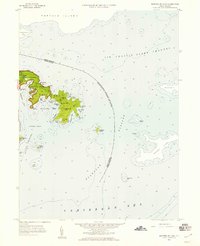
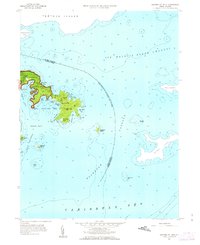
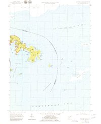
Editions of this 1958 Eastern St. John Map
6 editions found
Other maps of this area
Source Details
SourceU.S. Geological Survey
CopyrightPublic Domain