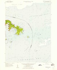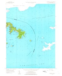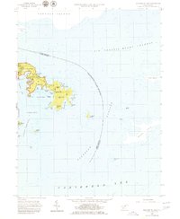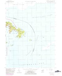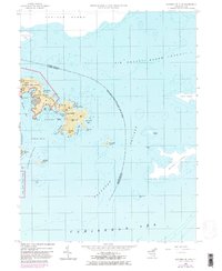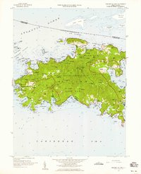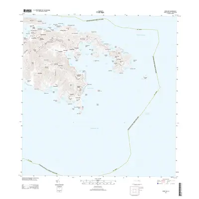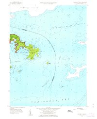
1958 Map of Eastern St. John
USGS Topo · Published 1963About this map
Virgin Islands National Park occupies the western heights of this peninsula, where the terrain rises to More Hill before descending into the complex maritime geography of Coral Bay. This 1958 field-checked survey illustrates the transition from the protected waters of Hurricane Hole and Round Bay to the exposed reaches of the Caribbean Sea. The map captures the small settlement of East End situated between Nancy Hill and Blackrock Hill, serving as a vital landmark for the local community during a period when the national park was in its early years. The international boundary between the United Kingdom and the United States is clearly delineated across Sir Francis Drake Channel, threading between the American territory and neighboring Tortola Island. Depths and coastal features like Flanagan Island and Leduck Island provide essential detail for understanding the historic navigation routes through Flanagan Passage.
Find a feature on this map
51 named features on this map. Tap any name to fly to it.
Don’t see what you’re looking for? This feature index may not catch every label — zoom into the map to look around manually.
Map Details
Editions of this 1958 Eastern St. John Map
6 editions found