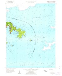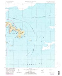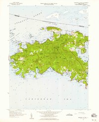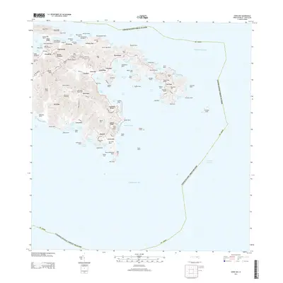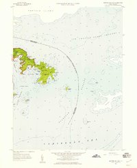
1958 Map of Eastern St. John
USGS Topo · Published 1959About this map
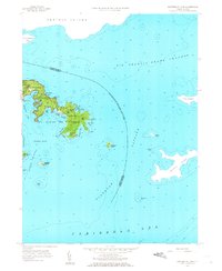
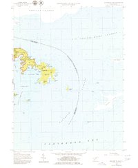
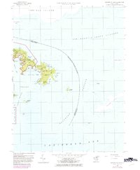
The eastern reaches of St. John are depicted shortly after the establishment of the Virgin Islands National Park, showcasing a landscape of isolated peaks and deeply recessed bays. The small settlement at East End serves as the primary outpost on this part of the island, connected by unimproved dirt roads that navigate around Nancy Hill and Blackrock Hill. The intricate shoreline is defined by sheltered waters such as Hurricane Hole and Round Bay, while the narrow neck at Haulover separates the northern and southern coasts. The maritime boundary between the United States and United Kingdom runs through the Sir Francis Drake Channel and Flanagan Passage, marking the proximity of Tortola Island and Norman Island. These soundings and topographic details capture the area's transition into a protected federal reserve while maintaining its traditional maritime character.
Find a feature on this map
53 named features on this map. Tap any name to fly to it.
Don’t see what you’re looking for? This feature index may not catch every label — zoom into the map to look around manually.
Map Details
Editions of this 1958 Eastern St. John Map
6 editions found