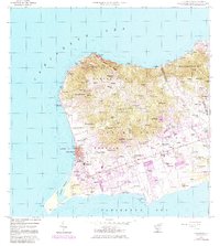
1958 Map of Frederiksted
USGS Topo · Published 1983About this map
Frederiksted stands as the primary coastal anchor on the western shore of Saint Croix, its harbor protected by Fort Frederick and signaled by a Lighthouse. This 1958 survey, updated with 1982 photorevisions, reveals a landscape where historical estate names such as Bettys Hope, Enfield Green, and Williams Delight transition into modern residential and industrial patterns. The southern coastal plain is dominated by the Alexander Hamilton Airport and the South Base, while the north is defined by the steep elevation of Mt Eagle and the winding Scenic Road. Educational and spiritual life is well-documented through numerous sites like St Patricks School and St Josephs Church. The inland geography is crisscrossed by established routes like Mahogany Road and Centerline Road, which connect coastal settlements to the interior valleys and hillsides of Northside A and Northside B.
Find a feature on this map
140 named features on this map. Tap any name to fly to it.
Don’t see what you’re looking for? This feature index may not catch every label — zoom into the map to look around manually.
Map Details
Editions of this 1958 Frederiksted Map
4 editions found
Other maps of this area
1958 · Christiansted
USGS Topo · 1:24,000
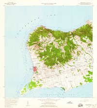
1958 · Frederiksted
USGS Topo · 1:24,000
2013 · Hams Bay
USGS Topo · 1:20,000
2013 · Long Point
USGS Topo · 1:20,000
2013 · Baron Bluff
USGS Topo · 1:20,000
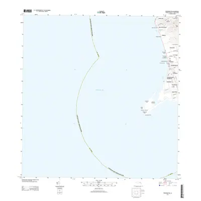
2013 · Frederiksted
USGS Topo · 1:20,000
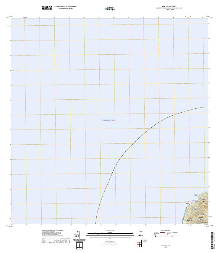
2024 · Hams Bay
USGS Topo · 1:20,000
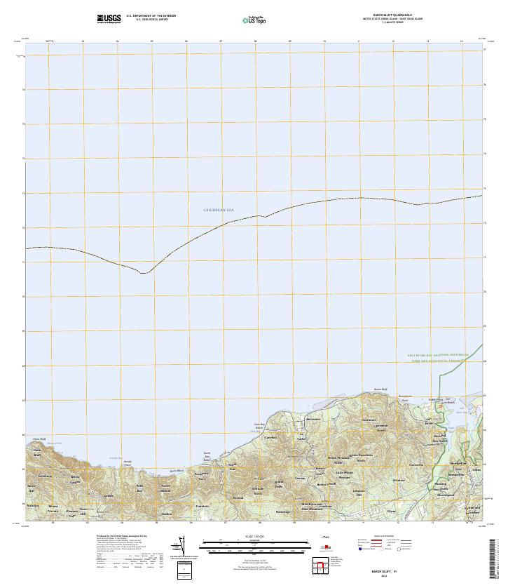
2024 · Baron Bluff
USGS Topo · 1:20,000
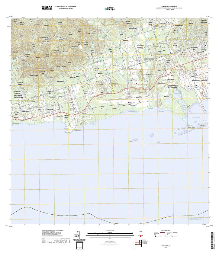
2024 · Long Point
USGS Topo · 1:20,000
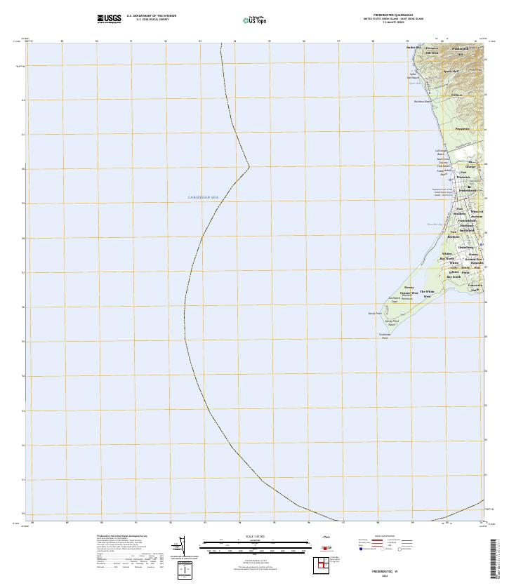
2024 · Frederiksted
USGS Topo · 1:20,000
Featured Places
- Mountain, Saint Croix District
- Robe Hill, Saint Croix District
- Allandale, Saint Croix District
- Whites Bay, Saint Croix District
- Sprat Hall, Saint Croix District