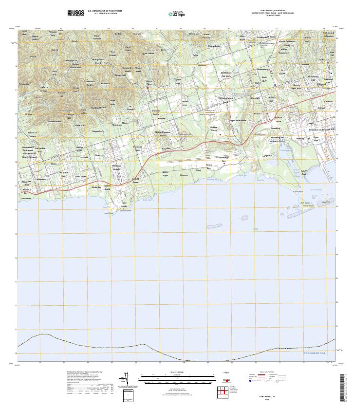
2024 Map of Long Point
USGS Topo · Published 2024About this map
Annaly and Mount Stewart crown the northwestern heights of this landscape, where the island's steep northern topography descends toward the Caribbean coastal plain. The central corridor is defined by the historic alignment of Centerline Rd, which serves as a primary artery connecting a dense network of residential areas and agricultural estates including Grove Place, Springfield, and Bethlehem Old Work. This modern survey illustrates the significant infrastructure of southern Saint Croix, most notably the expansive Henry E Rohlsen Airport and the commercial operations at Krause Lagoon. Cultural and educational landmarks are prominent, including the Friedensfeld Moravian Church and the University of the Virgin Islands - Albert A Sheen Campus. Along the coast, the map details the complex shoreline from Long Point Bay to the industrial Public Port, providing a precise record of contemporary development alongside names that reach back through the island's history.
Find a feature on this map
183 named features on this map. Tap any name to fly to it.
Don’t see what you’re looking for? This feature index may not catch every label — zoom into the map to look around manually.
Map Details
Editions of this 2024 Long Point Map
This is the sole edition of this map. No revisions or reprints were ever made.
Other maps of this area
1958 · Christiansted
USGS Topo · 1:24,000
1958 · Frederiksted
USGS Topo · 1:24,000
2013 · Beauregard Bay
USGS Topo · 1:20,000
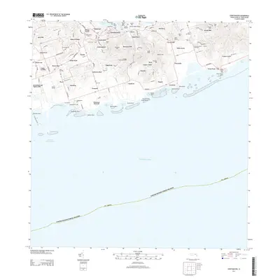
2013 · Christiansted
USGS Topo · 1:20,000
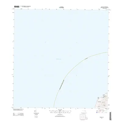
2013 · Hams Bay
USGS Topo · 1:20,000
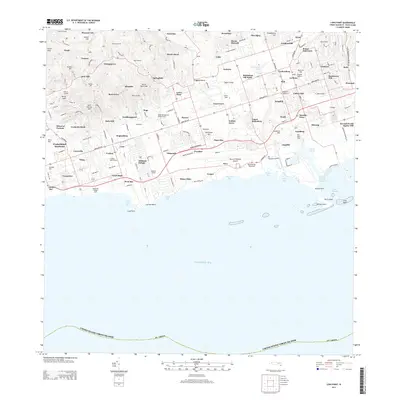
2013 · Long Point
USGS Topo · 1:20,000
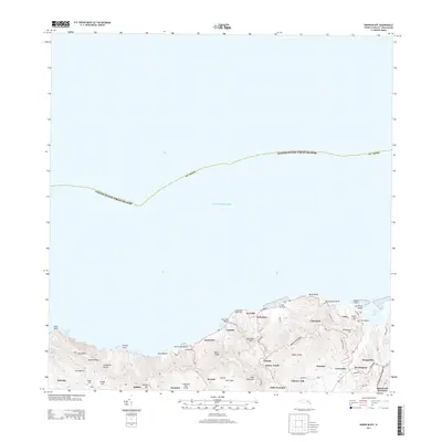
2013 · Baron Bluff
USGS Topo · 1:20,000
2013 · Frederiksted
USGS Topo · 1:20,000
2024 · Hams Bay
USGS Topo · 1:20,000
2024 · Baron Bluff
USGS Topo · 1:20,000
Featured Places
- Body Slob South, Saint Croix District
- Bonne Esperance, Saint Croix District
- Grove Place, Saint Croix District
- Fountain, Saint Croix District
- Frederiks Haab, Saint Croix District