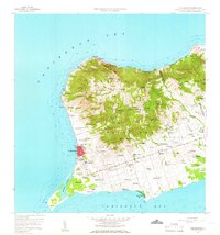
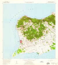
1958 Map of Frederiksted
USGS Topo · Published 1966About this map
Frederiksted sits at the western edge of Saint Croix on this mid-century survey, anchoring a landscape where historical estate names still define the geography. The coastal town is protected by Fort Frederick and served by the Hospital and Frederiksted Jr High Sch. Inland, the terrain rises sharply toward Mount Eagle and Maroon Ridge, while the southern plains are occupied by a dense network of settlements and agricultural tracts like Bettys Hope, Castle Burke, and Williams Delight. The infrastructure of the era is evident in the layout of the Alexander Hamilton Airport and the coastal U.S. Coast Guard Sta near Hams Bluff. Numerous religious sites, including Mother of Perpetual Help Ch and St Josephs Ch, are scattered among the ridges and valleys, providing clear landmarks for genealogists and local historians tracing the island's community development.
Find a feature on this map
121 named features on this map. Tap any name to fly to it.
Don’t see what you’re looking for? This feature index may not catch every label — zoom into the map to look around manually.
Map Details
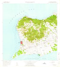
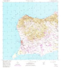
Editions of this 1958 Frederiksted Map
4 editions found
Other maps of this area
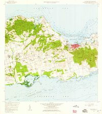
1958 · Christiansted
USGS Topo · 1:24,000
1958 · Frederiksted
USGS Topo · 1:24,000
2013 · Hams Bay
USGS Topo · 1:20,000
2013 · Long Point
USGS Topo · 1:20,000
2013 · Baron Bluff
USGS Topo · 1:20,000
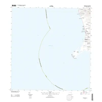
2013 · Frederiksted
USGS Topo · 1:20,000
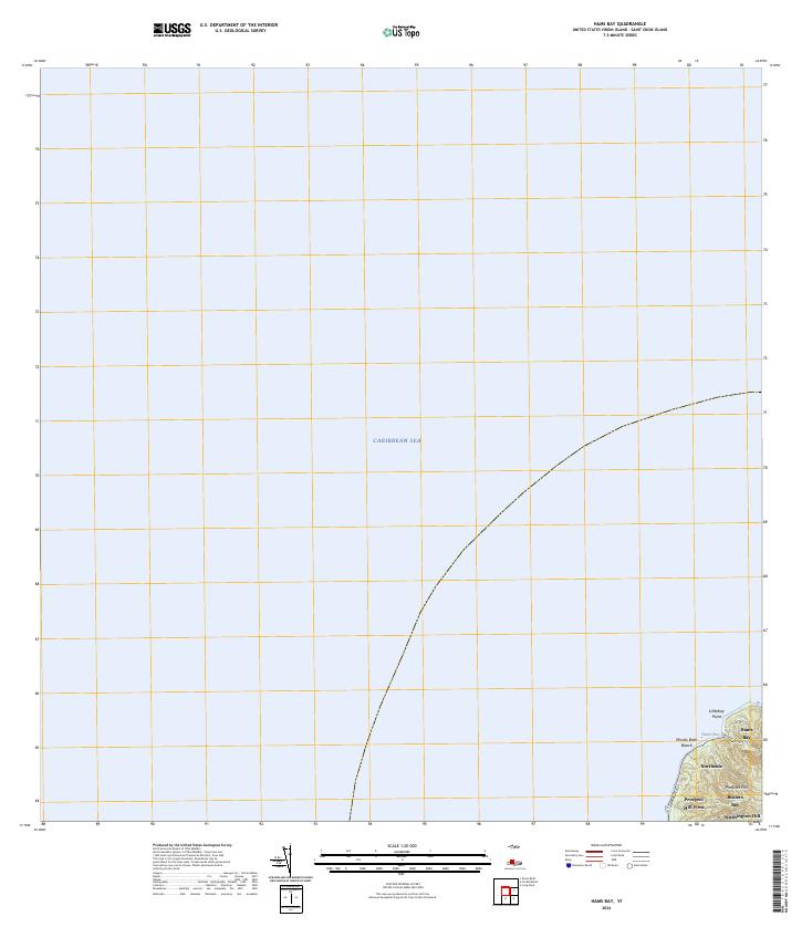
2024 · Hams Bay
USGS Topo · 1:20,000
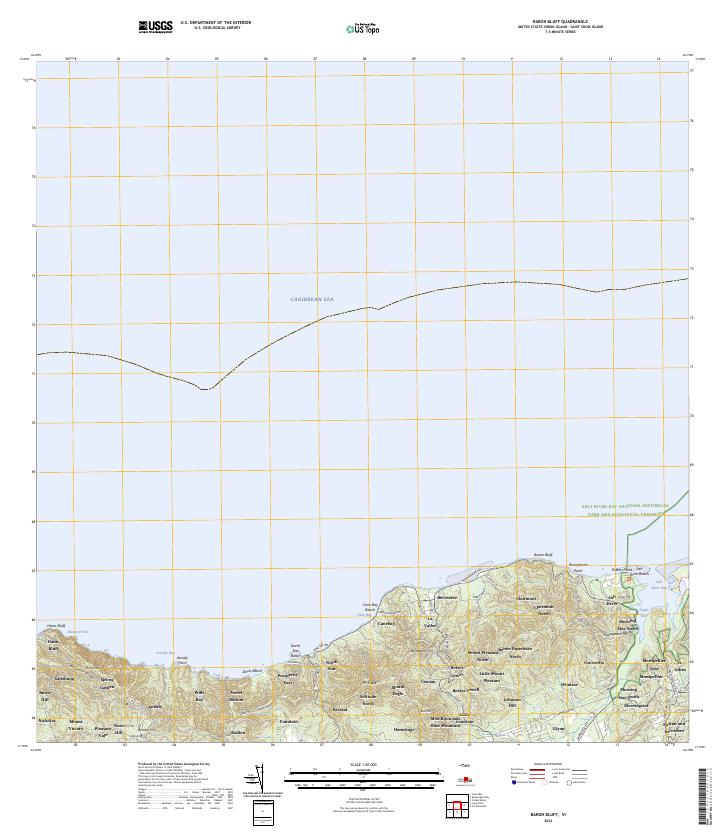
2024 · Baron Bluff
USGS Topo · 1:20,000
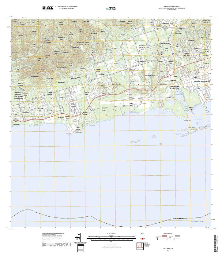
2024 · Long Point
USGS Topo · 1:20,000
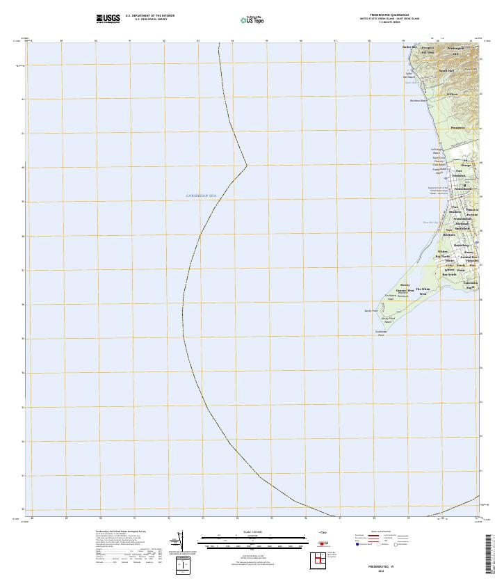
2024 · Frederiksted
USGS Topo · 1:20,000
Featured Places
- Mountain, Saint Croix District
- Robe Hill, Saint Croix District
- Allandale, Saint Croix District
- Whites Bay, Saint Croix District
- Sprat Hall, Saint Croix District