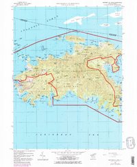
1958 Map of Western St. John
USGS Topo · Published 1983About this map
Cruz Bay serves as the primary hub on this 1958 survey, showing the Government House and clustered settlements as the island transitioned into its modern era of conservation. Much of the central and northern landscape is defined by the Virgin Islands National Park, preserving the rugged interior peaks like Bordeaux Mtn and Camelberg Peak. The map provides a detailed view of coastal life before extensive modern development, documenting small agricultural and residential centers such as Emmaus, Carolina, and Bethany.
Find a feature on this map
125 named features on this map. Tap any name to fly to it.
Don’t see what you’re looking for? This feature index may not catch every label — zoom into the map to look around manually.
Map Details
Editions of this 1958 Western St. John Map
6 editions found

Other maps of this area
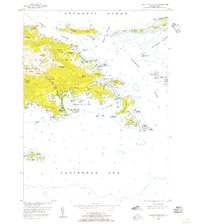
1954 · Eastern St. Thomas
USGS Topo · 1:24,000
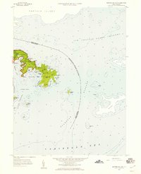
1958 · Eastern St. John
USGS Topo · 1:24,000
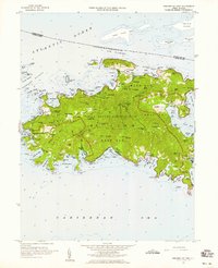
1958 · Western St. John
USGS Topo · 1:24,000
2013 · Cruz Bay OE N
USGS Topo · 1:20,000
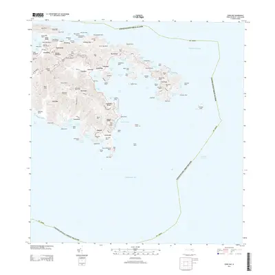
2013 · Coral Bay
USGS Topo · 1:20,000
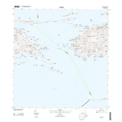
2013 · Cruz Bay
USGS Topo · 1:20,000
2013 · Coral Bay OE N
USGS Topo · 1:20,000
2024 · Coral Bay OE N
USGS Topo · 1:20,000
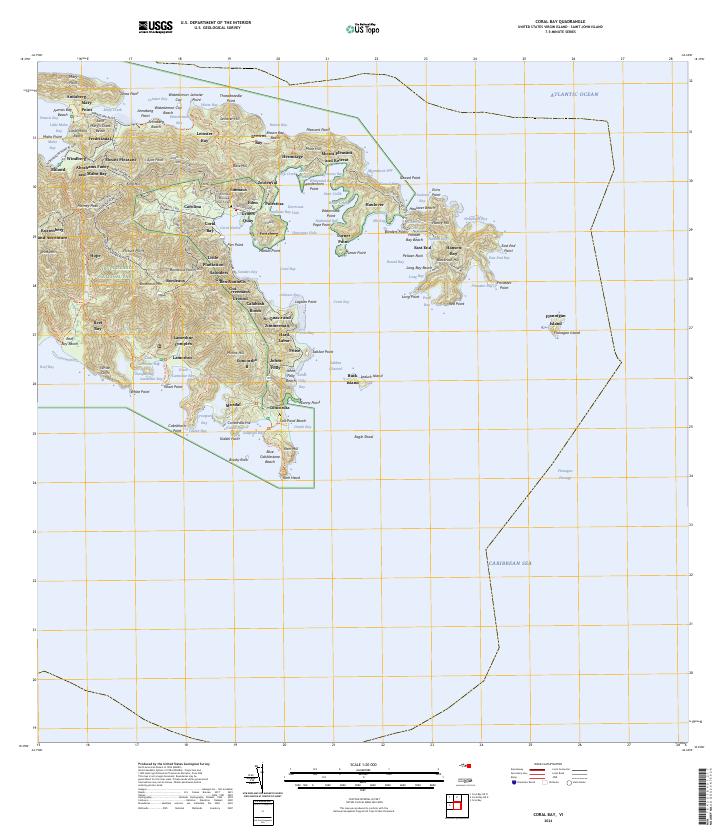
2024 · Coral Bay
USGS Topo · 1:20,000
2024 · Cruz Bay OE N
USGS Topo · 1:20,000
Featured Places
- Cruz Bay, Saint Thomas - Saint John District
- Coral Bay, Saint Thomas - Saint John District
- Coral Harbour, Saint Thomas - Saint John District
- Contant, Saint Thomas - Saint John District