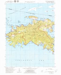
1958 Map of Western St. John
USGS Topo · Published 1980About this map
St John is documented here just as the Virgin Islands National Park was coming into its own, showing a landscape where traditional Caribbean settlements and colonial remnants meet a new era of conservation. The west end is anchored by Cruz Bay, the island's primary port and seat of government, featuring Government House and the settlement of Enighed. Further inland, the mountainous interior rises toward Bordeaux Mtn and Camelberg Peak, where the network of the Center Line Road and various jeep trails connect isolated habitations like Susannaberg and L'Esperance. Numerous ruins are noted across the terrain, particularly near Reef Bay and Cinnamon Bay, marking the site of former estates. On the eastern shore of this sheet, the community of Emmaus sits at the head of Coral Bay, accompanied by the Horace Mann Sch and the fortifications at Fortsberg.
Find a feature on this map
144 named features on this map. Tap any name to fly to it.
Don’t see what you’re looking for? This feature index may not catch every label — zoom into the map to look around manually.
Map Details
Editions of this 1958 Western St. John Map
6 editions found

Other maps of this area
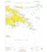
1954 · Eastern St. Thomas
USGS Topo · 1:24,000
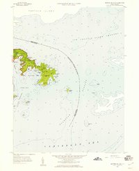
1958 · Eastern St. John
USGS Topo · 1:24,000
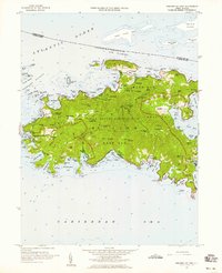
1958 · Western St. John
USGS Topo · 1:24,000
2013 · Cruz Bay OE N
USGS Topo · 1:20,000
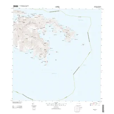
2013 · Coral Bay
USGS Topo · 1:20,000
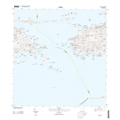
2013 · Cruz Bay
USGS Topo · 1:20,000
2013 · Coral Bay OE N
USGS Topo · 1:20,000
2024 · Coral Bay OE N
USGS Topo · 1:20,000
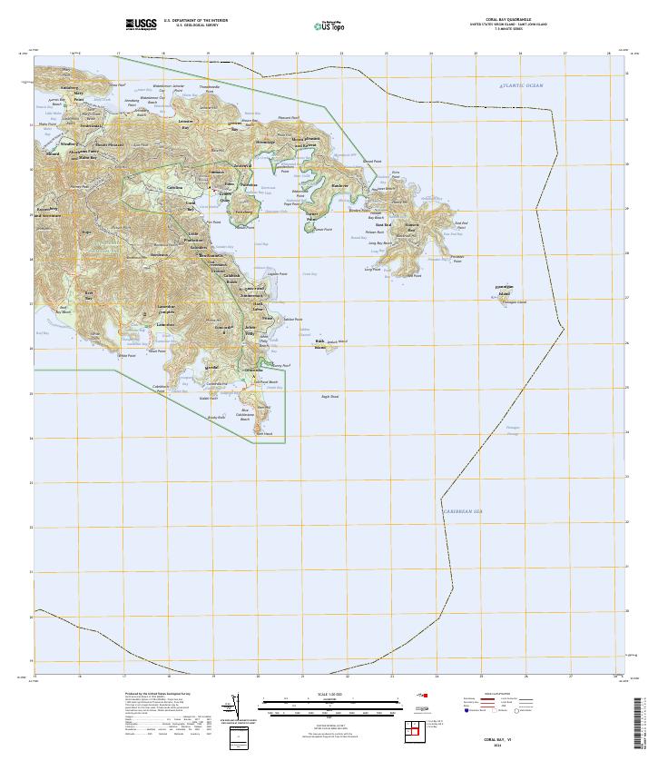
2024 · Coral Bay
USGS Topo · 1:20,000
2024 · Cruz Bay OE N
USGS Topo · 1:20,000
Featured Places
- Cruz Bay, Saint Thomas - Saint John District
- Coral Bay, Saint Thomas - Saint John District
- Coral Harbour, Saint Thomas - Saint John District
- Contant, Saint Thomas - Saint John District