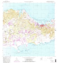
1958 Map of Christiansted
USGS Topo · Published 1988About this map
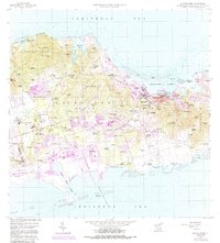
Christiansted serves as the focal point of this St. Croix survey, centered around its protected Christiansted Harbor and the Christiansted National Historic Site. The map details a landscape transitioning from its colonial plantation past, indicated by labels like Bethlehem Old Work, toward mid-century modernization. Coastal landmarks such as Fort Christian and Fort Louise Augusta stand alongside the emerging aviation infrastructure at Alexander Hamilton Airport. Inland, the terrain is marked by numerous historic estates and hills, including Blue Mountain and Beeston Hill, while the Salt River flows toward Salt River Bay in the north. This document provides a clear view of the island's administrative divisions, from Northside B to the East End A, recording the location of local schools like Peters Rest Sch and community hubs like the Manning Bay Racetrack.
Find a feature on this map
143 named features on this map. Tap any name to fly to it.
Don’t see what you’re looking for? This feature index may not catch every label — zoom into the map to look around manually.
Map Details
Editions of this 1958 Christiansted Map
6 editions found
Other maps of this area
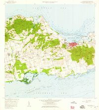
1958 · Christiansted
USGS Topo · 1:24,000
1958 · East Point
USGS Topo · 1:24,000
1958 · Frederiksted
USGS Topo · 1:24,000
2013 · Beauregard Bay
USGS Topo · 1:20,000
2013 · Christiansted
USGS Topo · 1:20,000
2013 · Long Point
USGS Topo · 1:20,000
2013 · Baron Bluff
USGS Topo · 1:20,000
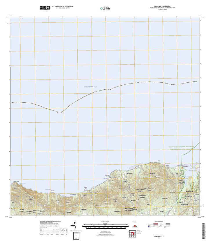
2024 · Baron Bluff
USGS Topo · 1:20,000
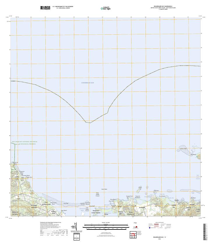
2024 · Beauregard Bay
USGS Topo · 1:20,000
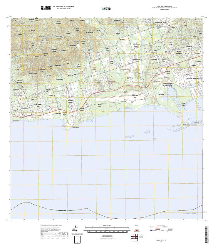
2024 · Long Point
USGS Topo · 1:20,000
Featured Places
- Diamond Keturah, Saint Croix District
- Rust Op Twist, Saint Croix District
- Canegarden, Saint Croix District
- Grange, Saint Croix District
- Morningstar, Saint Croix District