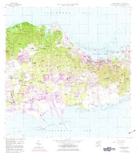
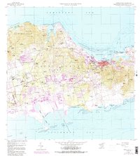
1958 Map of Christiansted
USGS Topo · Published 1983About this map
The central coastline of St Croix is dominated by the historic port of Christiansted Harbor, a center of Caribbean commerce and colonial administration. This mid-century survey captures the island's transition from an economy rooted in historic estates and sugar production, evidenced by numerous ruins such as those at Bethlehem Old Work and Rust Up Twist Ruins, toward modern infrastructure. The development of the Alexander Hamilton Airport and the Manning Bay Racetrack in the south contrasts with the established residential quarters of Prince Quarter and King Quarter. High points like Blue Mountain and Kirkegaard Hill overlook a landscape dotted with family-named estates like Judith Fancy and Betzys Jewell, preserving the nomenclature of the island's complex land-owning history.
Find a feature on this map
137 named features on this map. Tap any name to fly to it.
Don’t see what you’re looking for? This feature index may not catch every label — zoom into the map to look around manually.
Map Details
Editions of this 1958 Christiansted Map
6 editions found
Other maps of this area
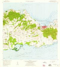
1958 · Christiansted
USGS Topo · 1:24,000
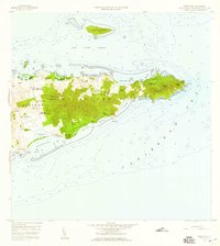
1958 · East Point
USGS Topo · 1:24,000
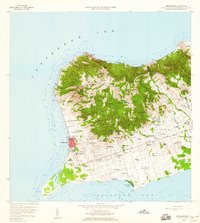
1958 · Frederiksted
USGS Topo · 1:24,000
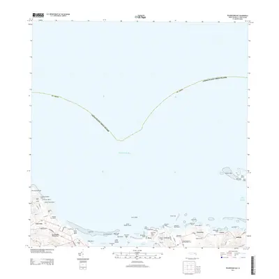
2013 · Beauregard Bay
USGS Topo · 1:20,000
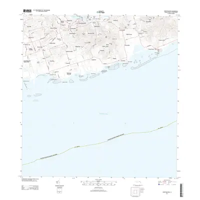
2013 · Christiansted
USGS Topo · 1:20,000
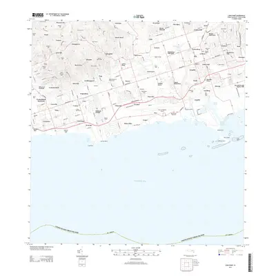
2013 · Long Point
USGS Topo · 1:20,000
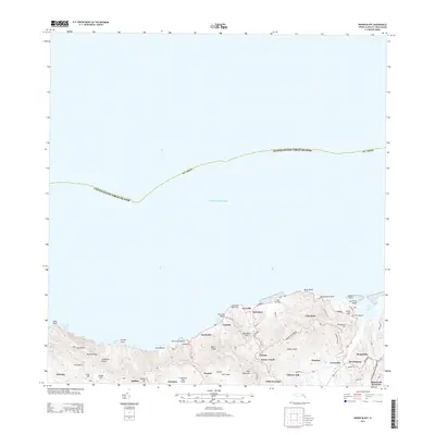
2013 · Baron Bluff
USGS Topo · 1:20,000
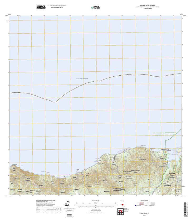
2024 · Baron Bluff
USGS Topo · 1:20,000
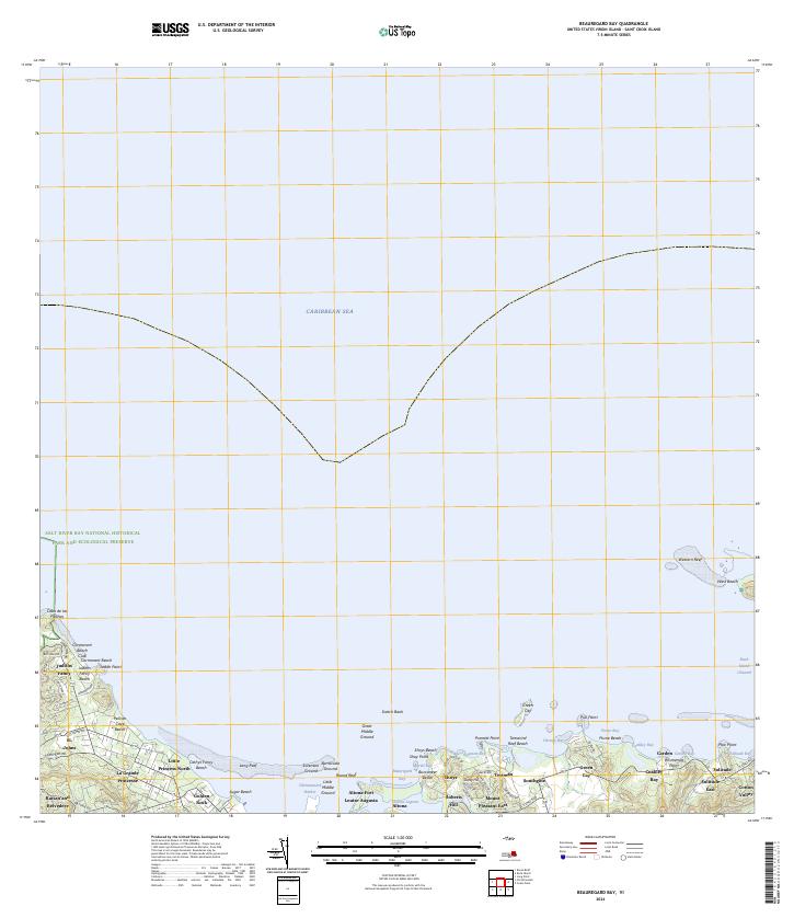
2024 · Beauregard Bay
USGS Topo · 1:20,000
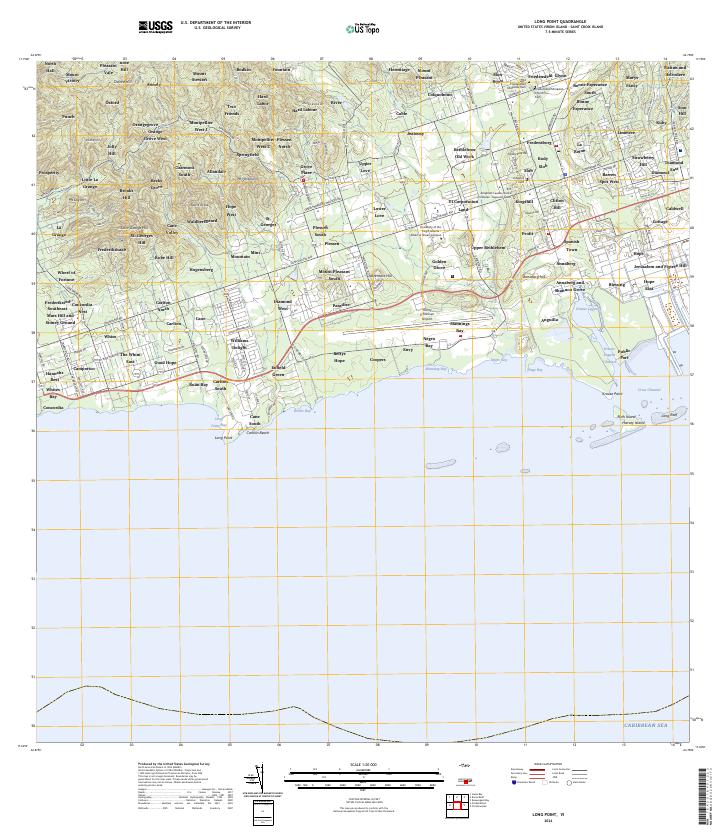
2024 · Long Point
USGS Topo · 1:20,000
Featured Places
- Diamond Keturah, Saint Croix District
- Rust Op Twist, Saint Croix District
- Canegarden, Saint Croix District
- Grange, Saint Croix District
- Morningstar, Saint Croix District