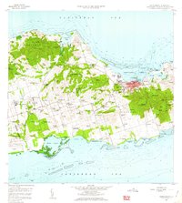
1958 Map of Christiansted
USGS Topo · Published 1962About this map
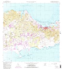
Christiansted Harbor serves as the focal point of this mid-century survey of Saint Croix, anchored by the historic waterfront and the nearby Protestant Cay. The landscape is defined by the legacy of the sugar era, with numerous estate names and ruins scattered throughout the Prince, King, Queen, and Company quarters. Notable landmarks include the Alexander Hamilton Airport and the Manning Bay Racetrack in the south, while the northern hills are traversed by the Scenic Road past Clairmont and Belvedere. The coastal geography is meticulously detailed, from the protective Long Reef to the tidal expanses of Krause Lagoon. Local heritage is preserved through the names of various estates like Judith Fancy, Marys Fancy, and La Grande Princesse, reflecting the distinct land-use patterns of the Virgin Islands before modern expansion transformed much of the rural interior.
Find a feature on this map
131 named features on this map. Tap any name to fly to it.
Don’t see what you’re looking for? This feature index may not catch every label — zoom into the map to look around manually.
Map Details
Editions of this 1958 Christiansted Map
6 editions found
Other maps of this area
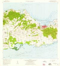
1958 · Christiansted
USGS Topo · 1:24,000
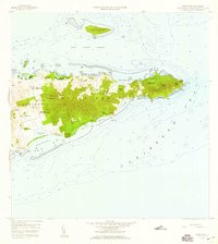
1958 · East Point
USGS Topo · 1:24,000
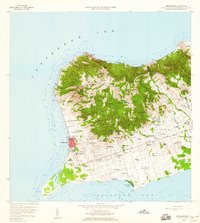
1958 · Frederiksted
USGS Topo · 1:24,000
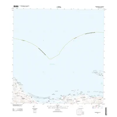
2013 · Beauregard Bay
USGS Topo · 1:20,000
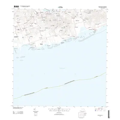
2013 · Christiansted
USGS Topo · 1:20,000
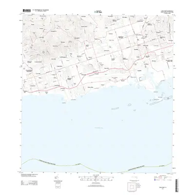
2013 · Long Point
USGS Topo · 1:20,000
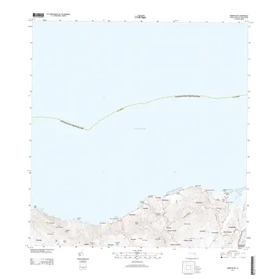
2013 · Baron Bluff
USGS Topo · 1:20,000
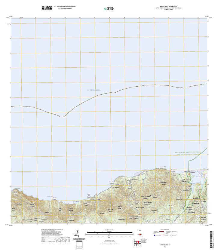
2024 · Baron Bluff
USGS Topo · 1:20,000
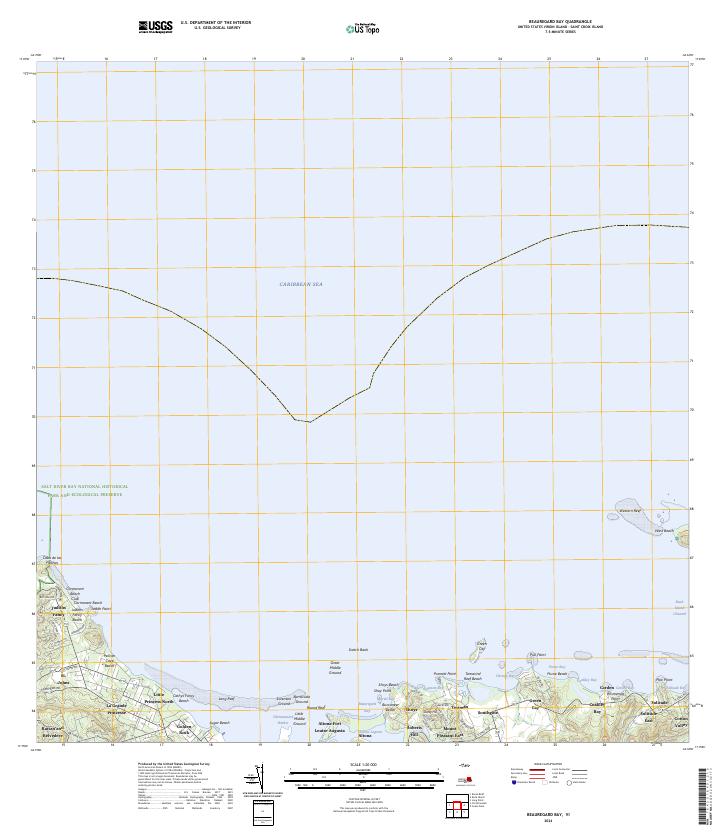
2024 · Beauregard Bay
USGS Topo · 1:20,000
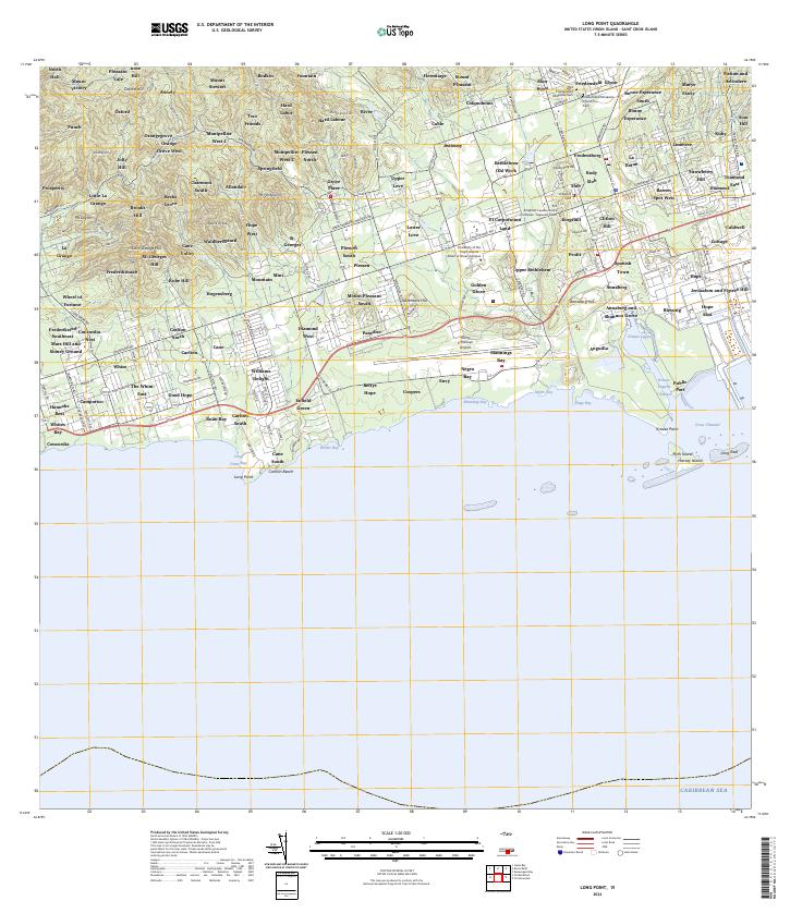
2024 · Long Point
USGS Topo · 1:20,000
Featured Places
- Diamond Keturah, Saint Croix District
- Rust Op Twist, Saint Croix District
- Canegarden, Saint Croix District
- Grange, Saint Croix District
- Morningstar, Saint Croix District